File:La ligne haute tension entre Avelin et Tourmignies.jpg

Original file (4,896 × 3,672 pixels, file size: 5.86 MB, MIME type: image/jpeg)
Captions
Captions
Summary edit
| Description | |||||||||||||||||||||
| Date | |||||||||||||||||||||
| Source | Own work | ||||||||||||||||||||
| Author |
|
||||||||||||||||||||
| Permission (Reusing this file) |
|
||||||||||||||||||||
| Other versions |
|
||||||||||||||||||||
.jpg)

.jpg)
.jpg)
.jpg)
| Camera location | | View this and other nearby images on: OpenStreetMap |
|---|
Licensing edit
- You are free:
- to share – to copy, distribute and transmit the work
- to remix – to adapt the work
- Under the following conditions:
- attribution – You must give appropriate credit, provide a link to the license, and indicate if changes were made. You may do so in any reasonable manner, but not in any way that suggests the licensor endorses you or your use.
- share alike – If you remix, transform, or build upon the material, you must distribute your contributions under the same or compatible license as the original.
| Annotations | This image is annotated: View the annotations at Commons |


.jpg)


|
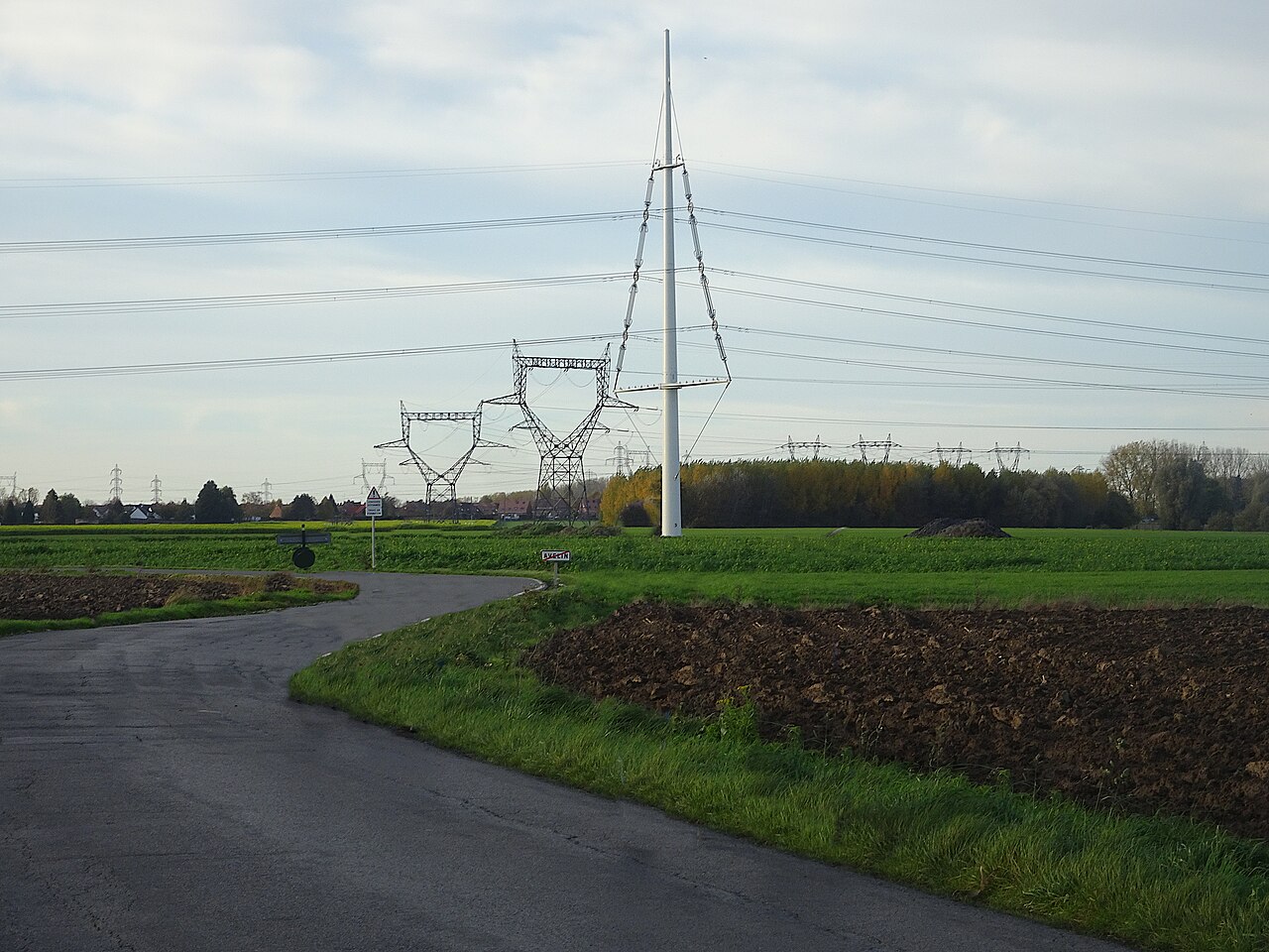
This image has been assessed under the valued image criteria and is considered the most valued image on Commons within the scope: Equilibre pylons, view from Imp. des Tilleuls, Tourmignies. You can see its nomination here. |
File history
Click on a date/time to view the file as it appeared at that time.
| Date/Time | Thumbnail | Dimensions | User | Comment | |
|---|---|---|---|---|---|
| current | 09:47, 12 April 2023 | | 4,896 × 3,672 (5.86 MB) | Pierre André Leclercq (talk | contribs) | correction sharpness |
| 17:20, 11 November 2022 |  | 4,896 × 2,642 (2.81 MB) | Pierre André Leclercq (talk | contribs) | Uploaded own work with UploadWizard |
You cannot overwrite this file.
File usage on Commons
The following 11 pages use this file:
- User:Pierre André Leclercq/Gallery/France/Région/Hauts-de-France/Arrondissement de Lille
- User talk:Pierre André Leclercq/Archive 11
- Commons:Valued image candidates/La ligne haute tension entre Avelin et Tourmignies.jpg
- Commons:Valued images by topic/Places/Buildings/Industrial buildings
- File:Martinval, la ligne haute tension entre Tourmignies et Avelin (1).jpg
- File:Martinval, la ligne haute tension entre Tourmignies et Avelin (2).jpg
- File:Martinval, la ligne haute tension entre Tourmignies et Avelin (2022).jpg
- File:Martinval, la ligne haute tension entre Tourmignies et Avelin (mars 2022).jpg
- File:Mons-en-Pévèle la ligne THT entre Tourmignies et Avelin (2022).jpg
- File:Tourmignies et Mérignies la ligne haute tension.jpg (file redirect)
- Category:Equilibre pylons
.jpg)
File usage on other wikis
The following other wikis use this file:
- Usage on fr.wikipedia.org
- Usage on www.wikidata.org