File:Lafittevueduciel.jpg
No higher resolution available.
Lafittevueduciel.jpg (800 × 600 pixels, file size: 317 KB, MIME type: image/jpeg)
Captions
Captions
Add a one-line explanation of what this file represents
Summary
edit
| Description |
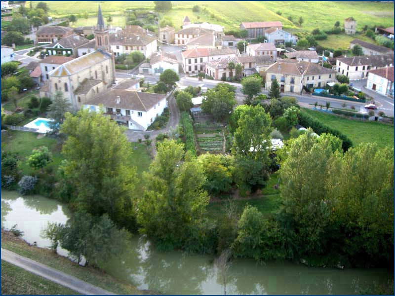
English: Aerial photo of Lafitte, Tarn-et-Garonne, Midi-Pyrénées
Français : Photo aérienne de la commune de Lafitte, Tarn-et-Garonne, Midi-Pyrénées |
| Date | |
| Source | Own work |
| Author | Own work |
| Camera location | | View this and other nearby images on: OpenStreetMap |
|---|
Licensing
edit
| I, the copyright holder of this work, release this work into the public domain. This applies worldwide. In some countries this may not be legally possible; if so: I grant anyone the right to use this work for any purpose, without any conditions, unless such conditions are required by law. |
File history
Click on a date/time to view the file as it appeared at that time.
| Date/Time | Thumbnail | Dimensions | User | Comment | |
|---|---|---|---|---|---|
| current | 12:20, 22 April 2010 | | 800 × 600 (317 KB) | Everg~commonswiki (talk | contribs) | {{Information |Description={{en|1=Aerial photo of Lafitte, Tarn-et-Garonne, Midi-Pyrénées}} {{fr|1=Photo aérienne de la commune de Lafitte, Tarn-et-Garonne, Midi-Pyrénées}} |Source={{Own}} |Author={{Own}} |Date=2010-01-01 |Permission= |other_versions |
You cannot overwrite this file.
File usage on Commons
The following 2 pages use this file:
File usage on other wikis
The following other wikis use this file:
- Usage on ca.wikipedia.org
- Usage on ceb.wikipedia.org
- Usage on ce.wikipedia.org
- Usage on de.wikipedia.org
- Usage on en.wikipedia.org
- Usage on es.wikipedia.org
- Usage on eu.wikipedia.org
- Usage on fr.wikipedia.org
- Usage on hu.wikipedia.org
- Usage on it.wikipedia.org
- Usage on la.wikipedia.org
- Usage on nl.wikipedia.org
- Usage on oc.wikipedia.org
- Usage on pl.wikipedia.org
- Usage on pt.wikipedia.org
- Usage on ro.wikipedia.org
- Usage on sk.wikipedia.org
- Usage on sv.wikipedia.org
- Usage on tt.wikipedia.org
- Usage on uk.wikipedia.org
- Usage on ur.wikipedia.org
- Usage on vec.wikipedia.org
- Usage on www.wikidata.org
- Usage on zh-min-nan.wikipedia.org
- Usage on zh.wikipedia.org