File:Lageplan Taula.PNG
Size of this preview: 569 × 599 pixels. Other resolutions: 228 × 240 pixels | 456 × 480 pixels | 682 × 718 pixels.
Original file (682 × 718 pixels, file size: 199 KB, MIME type: image/png)
Captions
Captions
Add a one-line explanation of what this file represents
Summary
edit
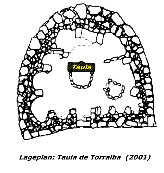
| Description | Lageplan einer Talayot-Siedlung mit Taula |
| Date | |
| Source | Informationen des Ausgrabungsleiters Javier Aramburu |
| Author | Benutzer:Juan Costa |
Licensing
edit
| This work has been released into the public domain by its author, Juan Costa at German Wikipedia. This applies worldwide. In some countries this may not be legally possible; if so: Juan Costa grants anyone the right to use this work for any purpose, without any conditions, unless such conditions are required by law. |
Original upload log
edit
Transferred from de.wikipedia to Commons using For the Common Good.
The original description page was here. All following user names refer to de.wikipedia.
| Date/Time | Dimensions | User | Comment |
|---|---|---|---|
| 00:46, 7 May 2006 | 682 × 718 (203,268 bytes) | w:de:Juan Costa (talk | contribs) |
File history
Click on a date/time to view the file as it appeared at that time.
| Date/Time | Thumbnail | Dimensions | User | Comment | |
|---|---|---|---|---|---|
| current | 12:33, 12 April 2014 | | 682 × 718 (199 KB) | Wikijunkie (talk | contribs) | Transferred from de.wikipedia: see original upload log above |
You cannot overwrite this file.
File usage on Commons
There are no pages that use this file.
File usage on other wikis
The following other wikis use this file:
- Usage on de.wikipedia.org