File:Laghi Cime Bianche 2812 m - Plateau Rosa Testa Grigia 3480 m - panoramio.jpg

Size of this preview: 800 × 483 pixels. Other resolutions: 320 × 193 pixels | 640 × 387 pixels | 1,024 × 618 pixels | 1,280 × 773 pixels | 2,560 × 1,546 pixels | 4,608 × 2,783 pixels.
Original file (4,608 × 2,783 pixels, file size: 4.1 MB, MIME type: image/jpeg)
Captions
Captions
Add a one-line explanation of what this file represents
Summary edit
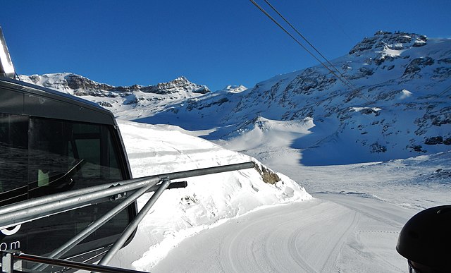
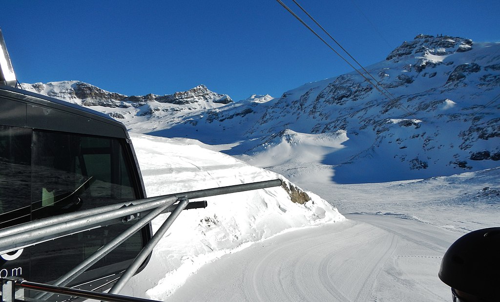
| Description | Laghi Cime Bianche 2812 m - Plateau Rosa Testa Grigia 3480 m | ||
| Date | Taken on 10 February 2013 | ||
| Source | https://web.archive.org/web/20161025072800/http://www.panoramio.com/photo/85961379 | ||
| Author | qwesy qwesy | ||
| Permission (Reusing this file) |
This file is licensed under the Creative Commons Attribution 3.0 Unported license. Attribution: qwesy qwesy
|
||
| Tags (from Panoramio photo page) | Valtournenche, 2013, Aostatal, best, Italien, Valtournenche |
| Camera location | | View this and other nearby images on: OpenStreetMap |
|---|

|
The categories of this image need checking. You can do so here.
|
File history
Click on a date/time to view the file as it appeared at that time.
| Date/Time | Thumbnail | Dimensions | User | Comment | |
|---|---|---|---|---|---|
| current | 16:42, 8 February 2017 | | 4,608 × 2,783 (4.1 MB) | Panoramio upload bot (talk | contribs) | == {{int:filedesc}} == {{Information |description=Laghi Cime Bianche 2812 m - Plateau Rosa Testa Grigia 3480 m |date={{Taken on|2013-02-10}} |source=http://www.panoramio.com/photo/85961379 |author=[http://www.panoramio.com/user/596286?with_photo_id=859... |
You cannot overwrite this file.
File usage on Commons
There are no pages that use this file.