File:Laghi dell Aqua Fraggia - panoramio.jpg

Size of this preview: 800 × 518 pixels. Other resolutions: 320 × 207 pixels | 640 × 414 pixels | 1,024 × 663 pixels | 1,280 × 829 pixels | 2,560 × 1,657 pixels | 3,293 × 2,132 pixels.
Original file (3,293 × 2,132 pixels, file size: 5.13 MB, MIME type: image/jpeg)
Captions
Captions
Add a one-line explanation of what this file represents
Summary
edit
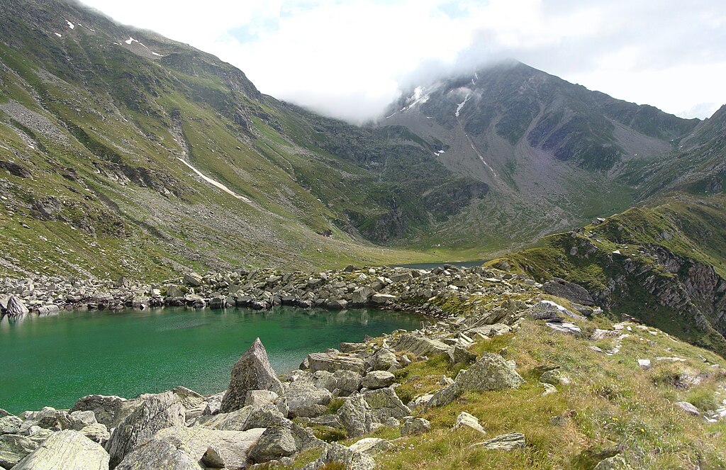
| Description | Laghi dell Aqua Fraggia | ||
| Date | Taken on 30 July 2010 | ||
| Source | https://web.archive.org/web/20161014161636/http://www.panoramio.com/photo/39210412 | ||
| Author | Schölla Schwarz | ||
| Permission (Reusing this file) |
This file is licensed under the Creative Commons Attribution 3.0 Unported license. Attribution: Schölla Schwarz
|
||
| Tags (from Panoramio photo page) | Piuro, >06400, Bergell, Italy, Jahr2010, Piuro |
| Camera location | | View this and other nearby images on: OpenStreetMap |
|---|

|
The categories of this image need checking. You can do so here.
|
File history
Click on a date/time to view the file as it appeared at that time.
| Date/Time | Thumbnail | Dimensions | User | Comment | |
|---|---|---|---|---|---|
| current | 09:47, 16 December 2016 | | 3,293 × 2,132 (5.13 MB) | Panoramio upload bot (talk | contribs) | == {{int:filedesc}} == {{Information |description=Laghi dell Aqua Fraggia |date={{Taken on|2010-07-30}} |source=http://www.panoramio.com/photo/39210412 |author=[http://www.panoramio.com/user/440234?with_photo_id=39210412 Schölla Schwarz] |permission={... |
You cannot overwrite this file.
File usage on Commons
There are no pages that use this file.