File:Lake Bakili and Karum.PNG
Size of this preview: 740 × 599 pixels. Other resolutions: 297 × 240 pixels | 593 × 480 pixels | 949 × 768 pixels | 1,151 × 932 pixels.
Original file (1,151 × 932 pixels, file size: 2.78 MB, MIME type: image/png)
Captions
Captions
Add a one-line explanation of what this file represents
Summary
edit
| Description |
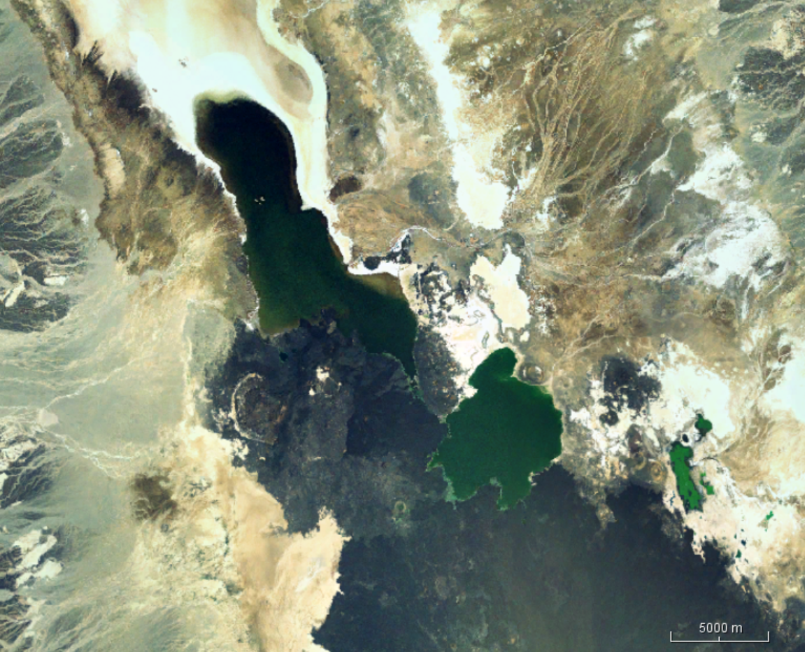
English: Satellit photo of Lake Bakili (green, center) and Lake Karum (dark, long, top) and the slope of Erta Ale (dark bottom) |
| Date | |
| Source | Worldwind |
| Author | Nasa |
Licensing
edit
| This image is in the public domain because it is a screenshot from NASA’s globe software World Wind using a public domain layer, such as Blue Marble, MODIS, Landsat, SRTM, USGS or GLOBE.
|
 |
File history
Click on a date/time to view the file as it appeared at that time.
| Date/Time | Thumbnail | Dimensions | User | Comment | |
|---|---|---|---|---|---|
| current | 10:35, 18 November 2019 | | 1,151 × 932 (2.78 MB) | Peter in s (talk | contribs) | {{Information |description ={{en|1=Satellit photo of Lake Bakili (green, center) and Lake Karum (dark, long, top) and the slope of Erta Ale (dark bottom)}} |date =2019-11-18 |source =Worldwind |author =Nasa }} Category:Lake Karum Category:Salt lakes of Ethiopia Category:Afar Region Category:Danakil Desert |
You cannot overwrite this file.
File usage on Commons
The following page uses this file: