File:Lake Ballinger NAIP 2017.png

Size of this preview: 446 × 600 pixels. Other resolutions: 178 × 240 pixels | 357 × 480 pixels | 571 × 768 pixels | 761 × 1,024 pixels | 1,523 × 2,048 pixels | 3,017 × 4,057 pixels.
Original file (3,017 × 4,057 pixels, file size: 15.93 MB, MIME type: image/png)
Captions
Captions
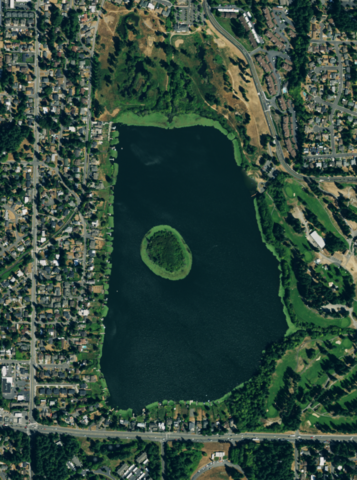
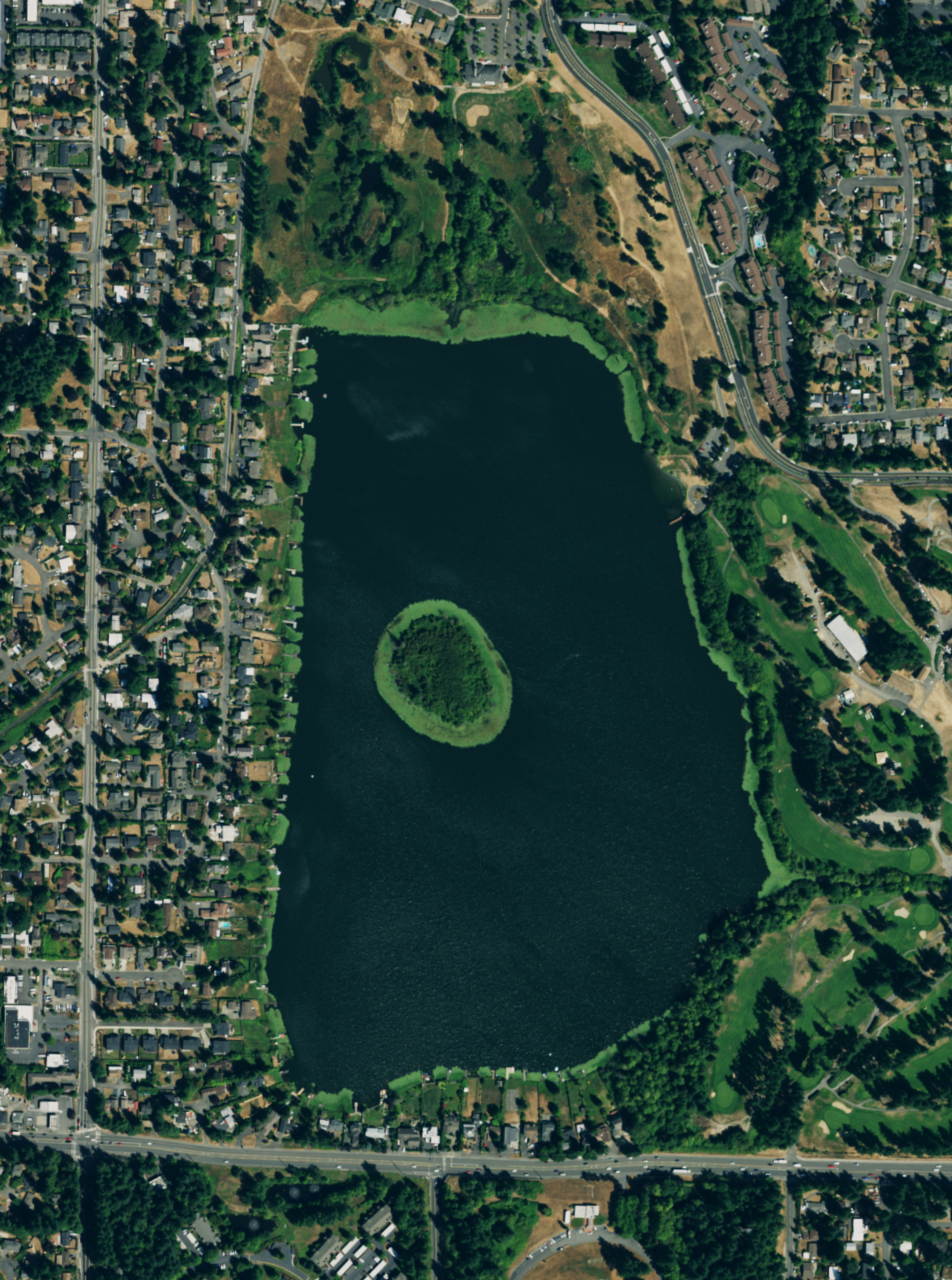
Lake Ballinger and surrounding area
Summary
edit
| Description |
English: Lake Ballinger and surrounding area, Statewide NAIP 2017 3ft 4band Imagery |
| Date | |
| Source | National Agricultural Imagery Program (NAIP) via Washington Geospatial Open Data Portal, http://geo.wa.gov/datasets/statewide-naip-2017-3ft-4band-imagery |
| Author | US Department of Agriculture |
| Camera location | | View this and other nearby images on: OpenStreetMap |
|---|
Licensing
edit
This image or file is a work of a United States Department of Agriculture employee, taken or made as part of that person's official duties. As a work of the U.S. federal government, the image is in the public domain.
|
 |
File history
Click on a date/time to view the file as it appeared at that time.
| Date/Time | Thumbnail | Dimensions | User | Comment | |
|---|---|---|---|---|---|
| current | 23:14, 10 January 2020 | | 3,017 × 4,057 (15.93 MB) | Bri (talk | contribs) | User created page with UploadWizard |
You cannot overwrite this file.
File usage on Commons
There are no pages that use this file.
File usage on other wikis
The following other wikis use this file:
- Usage on de.wikipedia.org
- Usage on en.wikipedia.org