File:Lake Ippeki 2004-04-29.jpg

Size of this preview: 799 × 600 pixels. Other resolutions: 320 × 240 pixels | 640 × 480 pixels | 1,024 × 768 pixels | 1,280 × 960 pixels | 1,566 × 1,175 pixels.
Original file (1,566 × 1,175 pixels, file size: 1.68 MB, MIME type: image/jpeg)
Captions
Captions
Add a one-line explanation of what this file represents
| Description |
|
||
| Date | |||
| Source | 地図・空中写真閲覧サービス (Photo No. CCB20042X-C3-9) | ||
| Author | 国土地理院 (Geospatial Information Authority of Japan) | ||
| Permission (Reusing this file) |
This file is licensed under the Creative Commons Attribution 4.0 International license. Attribution: 国土地理院 (Geospatial Information Authority of Japan)
|

| Object location | | View this and other nearby images on: OpenStreetMap |
|---|
File history
Click on a date/time to view the file as it appeared at that time.
| Date/Time | Thumbnail | Dimensions | User | Comment | |
|---|---|---|---|---|---|
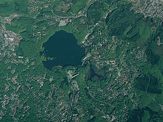
| current | 11:40, 13 December 2017 | | 1,566 × 1,175 (1.68 MB) | Batholith (talk | contribs) | {{Information |Description= {{ja|静岡県伊東市にある'''一碧湖'''の2004年4月29日の空中写真。元ファイルからトリミング済み。}} {{en|Aerial photograph of ''':Lake I... |
You cannot overwrite this file.
File usage on Commons
The following 2 pages use this file:
File usage on other wikis
The following other wikis use this file:
- Usage on ja.wikipedia.org