File:Lake Mita-Hill.jpg

Size of this preview: 523 × 599 pixels. Other resolutions: 210 × 240 pixels | 419 × 480 pixels | 820 × 939 pixels.
Original file (820 × 939 pixels, file size: 106 KB, MIME type: image/jpeg)
Captions
Captions
Add a one-line explanation of what this file represents
Summary edit
| Description |
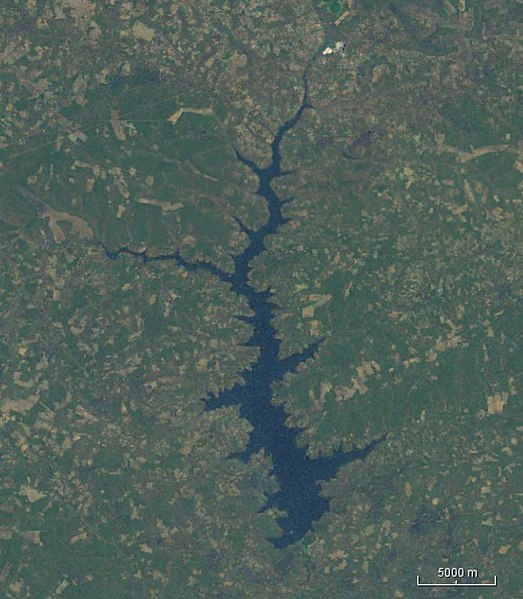
English: Satellit photo of Mita-Hill Reservoir |
| Date | |
| Source | Woldwind |
| Author | Nase |
Licensing edit
| This image is in the public domain because it is a screenshot from NASA’s globe software World Wind using a public domain layer, such as Blue Marble, MODIS, Landsat, SRTM, USGS or GLOBE.
|
 |
File history
Click on a date/time to view the file as it appeared at that time.
| Date/Time | Thumbnail | Dimensions | User | Comment | |
|---|---|---|---|---|---|
| current | 08:37, 18 September 2019 | | 820 × 939 (106 KB) | Peter in s (talk | contribs) | {{Information |description ={{en|1=Satellit photo of Mita-Hill Reservoir}} |date =2019-09-18 |source =Woldwind |author =Nase }} Category:Reservoirs in Zambia Category:Zambezi Basin Category:Satellite pictures of Zambia |
You cannot overwrite this file.
File usage on Commons
The following 2 pages use this file:
File usage on other wikis
The following other wikis use this file:
- Usage on arz.wikipedia.org
- Usage on de.wikipedia.org
- Usage on en.wikipedia.org