File:Lake Monroe from Clear Creek Township.jpg
Size of this preview: 800 × 450 pixels. Other resolutions: 320 × 180 pixels | 640 × 360 pixels | 1,024 × 576 pixels | 1,280 × 720 pixels | 2,816 × 1,584 pixels.
Original file (2,816 × 1,584 pixels, file size: 956 KB, MIME type: image/jpeg)
Captions
Captions
Add a one-line explanation of what this file represents
| Camera location | | View this and other nearby images on: OpenStreetMap |
|---|
| Description |
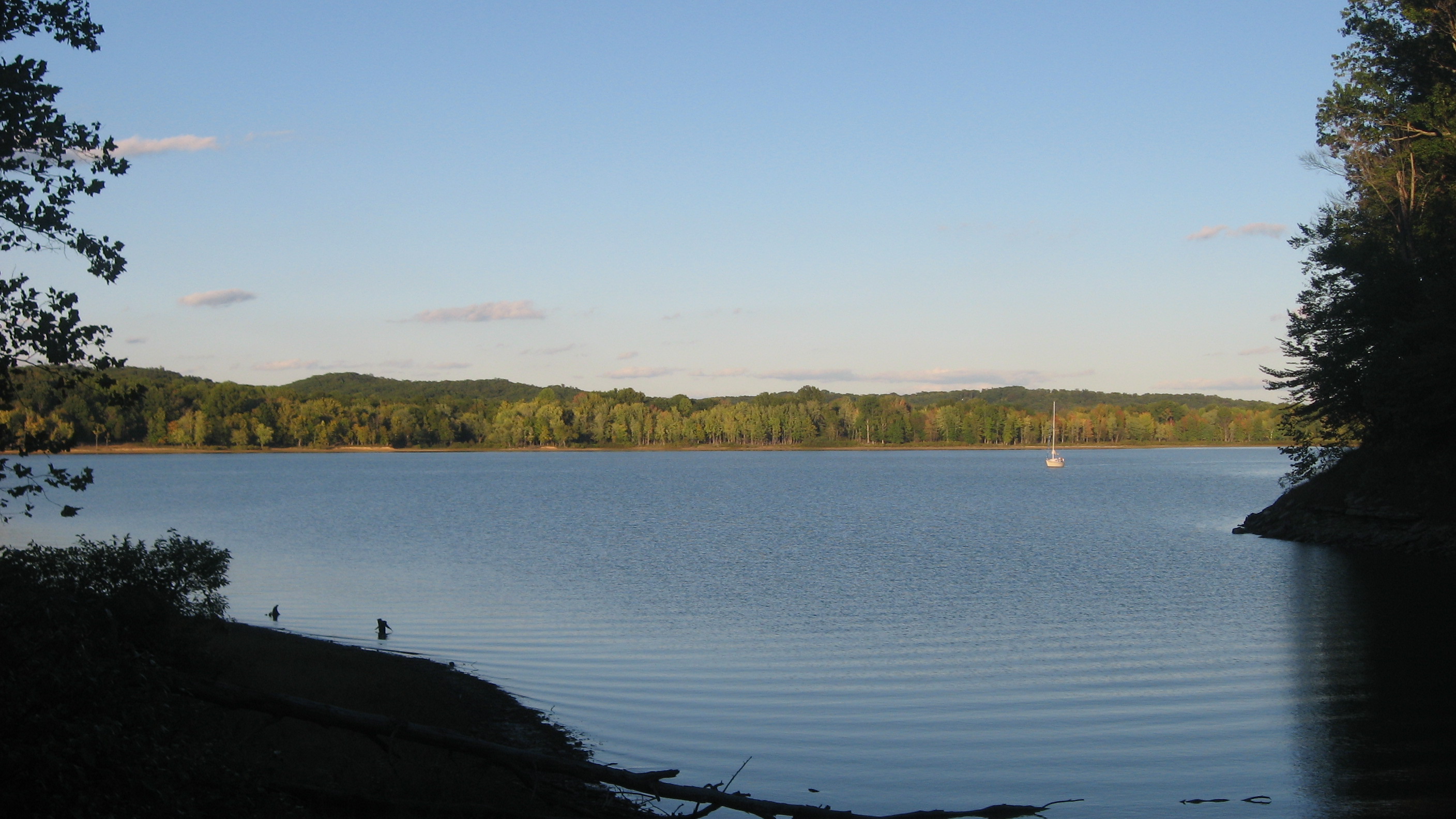
English: Looking eastward over Lake Monroe southeast of Bloomington in Monroe County, Indiana, United States. The scene is on the western edge of the Hoosier National Forest; the photograph is taken from the northeastern corner of Clear Creek Township, and the distant shoreline is located in Salt Creek Township within the Paynetown State Recreation Area. |
||
| Date | Taken on 23 September 2012 | ||
| Source | Own work | ||
| Author | Nyttend | ||
| Permission (Reusing this file) |
|
File history
Click on a date/time to view the file as it appeared at that time.
| Date/Time | Thumbnail | Dimensions | User | Comment | |
|---|---|---|---|---|---|
| current | 05:45, 24 September 2012 | | 2,816 × 1,584 (956 KB) | Nyttend (talk | contribs) | {{Location|39|4|41|N|86|27|32|W}} {{Information |Description={{en|Looking eastward over {{w|Lake Monroe (Indiana)|Lake Monroe}} southeast of {{w|Bloomington, Indiana|Bloomington in {{w|Monroe County, Indiana|Monroe County}}, {{w|Indiana}}, {{w|United S... |
You cannot overwrite this file.
File usage on Commons
There are no pages that use this file.