File:Lake Ootori-Ike Aerial Photograph.jpg

Size of this preview: 797 × 599 pixels. Other resolutions: 319 × 240 pixels | 639 × 480 pixels | 1,022 × 768 pixels | 1,280 × 962 pixels | 1,544 × 1,161 pixels.
Original file (1,544 × 1,161 pixels, file size: 599 KB, MIME type: image/jpeg)
Captions
Captions
Add a one-line explanation of what this file represents
Summary
edit
| Description |
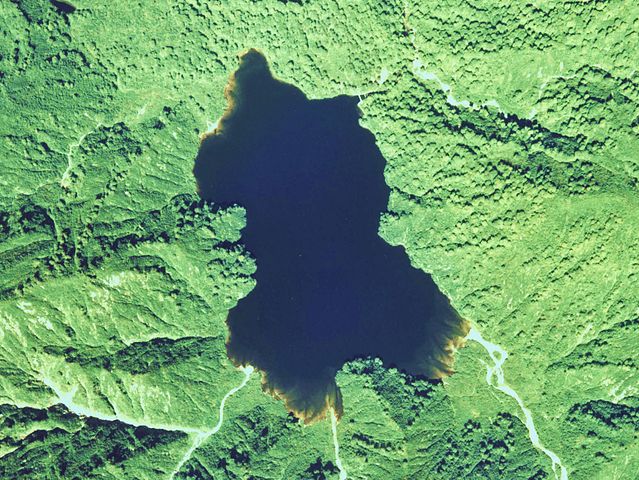
English: Lake Ootori-Ike Aerial Photograph
日本語: 大鳥池(山形県鶴岡市)の空中写真。cto-77-11_c6_14を利用。 |
| Date | |
| Source | 国土情報ウェブマッピングシステム |
| Author | 国土交通省 |
Licensing
edit

|
The copyright holder of this file, the Ministry of Land, Infrastructure, Transport and Tourism of Japan, allows anyone to use it for any purpose, provided that the copyright holder is properly attributed. Redistribution, derivative work, commercial use, and all other use is permitted. |
Attribution:
Copyright © National Land Image Information (Color Aerial Photographs), Ministry of Land, Infrastructure, Transport and Tourism
|
 |
This image is copyrighted by the Ministry of Land, Infrastructure, Transport and Tourism of Japan. For terms of use, see the stipulation to use of National Land Information (in Japanese) and message from MLIT (in Japanese and English). When you display this image on an article, include the following phrase in the description: "Made based on National Land Image Information (Color Aerial Photographs), Ministry of Land, Infrastructure, Transport and Tourism".
|
File history
Click on a date/time to view the file as it appeared at that time.
| Date/Time | Thumbnail | Dimensions | User | Comment | |
|---|---|---|---|---|---|
| current | 08:09, 18 July 2011 | | 1,544 × 1,161 (599 KB) | さかおり (talk | contribs) | {{Information |Description ={{en|1=Lake Ootori-Ike Aerial Photograph}} {{ja|1=大鳥池(山形県鶴岡市)の空中写真。cto-77-11_c6_14を利用。}} |Source =国土情報ウェブマッピングシステム |Author =国土交� |
You cannot overwrite this file.
File usage on Commons
The following page uses this file:
File usage on other wikis
The following other wikis use this file:
- Usage on ja.wikipedia.org
- Usage on www.wikidata.org
- Usage on zh.wikipedia.org