File:Landappbw 806530 1820 Evangelische Kirche Vörstetten.jpg

Size of this preview: 473 × 600 pixels. Other resolutions: 189 × 240 pixels | 378 × 480 pixels | 605 × 768 pixels | 807 × 1,024 pixels | 1,615 × 2,048 pixels | 3,042 × 3,858 pixels.
Original file (3,042 × 3,858 pixels, file size: 956 KB, MIME type: image/jpeg)
Captions
Captions
Add a one-line explanation of what this file represents
Summary
edit
| Description |
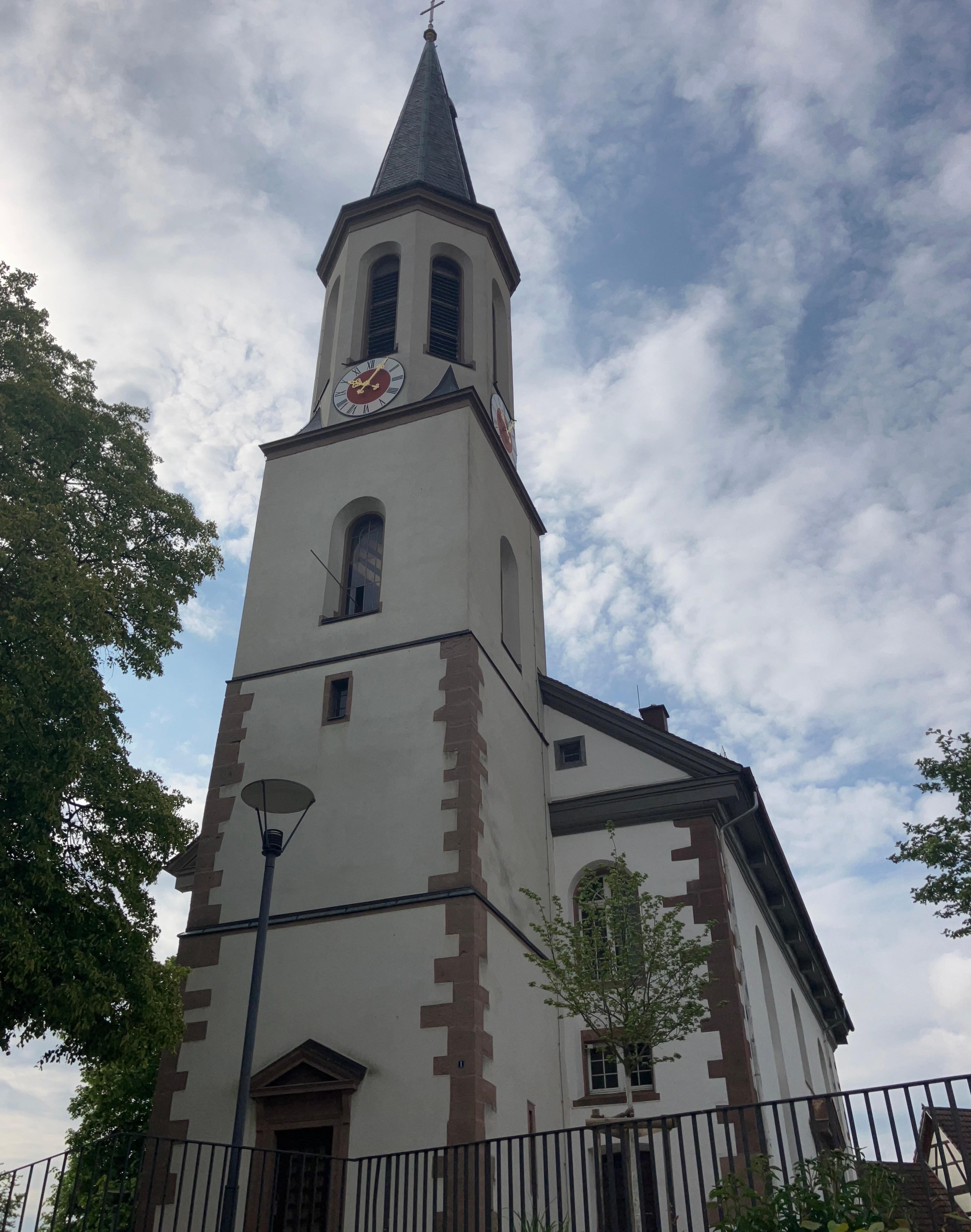
Deutsch: Älteste Teile aus dem 13. Jahrhundert
1803 nach Plänen von Weinbrenner erweitert |
| Date | 15 May 2023, 18:07:27 (original upload date) |
| Source | overview - direct - dataset |
| Author | Klemens Maier |
| Permission (Reusing this file) |
Creative Commons Zero (CC0) |
| ID | 806530 |
| Category | 1841 |
| Object location | | View this and other nearby images on: OpenStreetMap |
|---|
This media file was collected by Landauf, LandApp under the ID 806530. This tag does not indicate the copyright status of the attached work. A normal copyright tag is still required. See Commons:Licensing. |
Licensing
edit
| This file is made available under the Creative Commons CC0 1.0 Universal Public Domain Dedication. | |
| The person who associated a work with this deed has dedicated the work to the public domain by waiving all of their rights to the work worldwide under copyright law, including all related and neighboring rights, to the extent allowed by law. You can copy, modify, distribute and perform the work, even for commercial purposes, all without asking permission.
|
File history
Click on a date/time to view the file as it appeared at that time.
| Date/Time | Thumbnail | Dimensions | User | Comment | |
|---|---|---|---|---|---|
| current | 13:18, 16 May 2023 | | 3,042 × 3,858 (956 KB) | LaserlichtBot (talk | contribs) | =={{int:filedesc}}== {{Information |description={{de|1=Älteste Teile aus dem 13. Jahrhundert 1803 nach Plänen von Weinbrenner erweitert}} |date=2023-05-15 18:07:27 |source=[https://www.spotteron.com/landappbw/spots/806530 overview] - [https://files.spotteron.com/images/spots/000022/2023/05/15/ojbuism4nd39eb2bsen3ntk7o9dmlekb.jpg direct] |author=[https://www.spotteron.com/landappbw/users/38131/spots Klemens Maier] |permission=[https://www.spotteron.com/landappbw/info Creative Commons Zero (CC... |
You cannot overwrite this file.
File usage on Commons
The following page uses this file: