File:Landscape context of Stanton Drew stone circles.jpg
Size of this preview: 800 × 479 pixels. Other resolutions: 320 × 192 pixels | 640 × 383 pixels | 1,024 × 613 pixels | 1,280 × 766 pixels | 2,592 × 1,552 pixels.
Original file (2,592 × 1,552 pixels, file size: 1,018 KB, MIME type: image/jpeg)
Captions
Captions
Add a one-line explanation of what this file represents
Summary
edit
| Description |
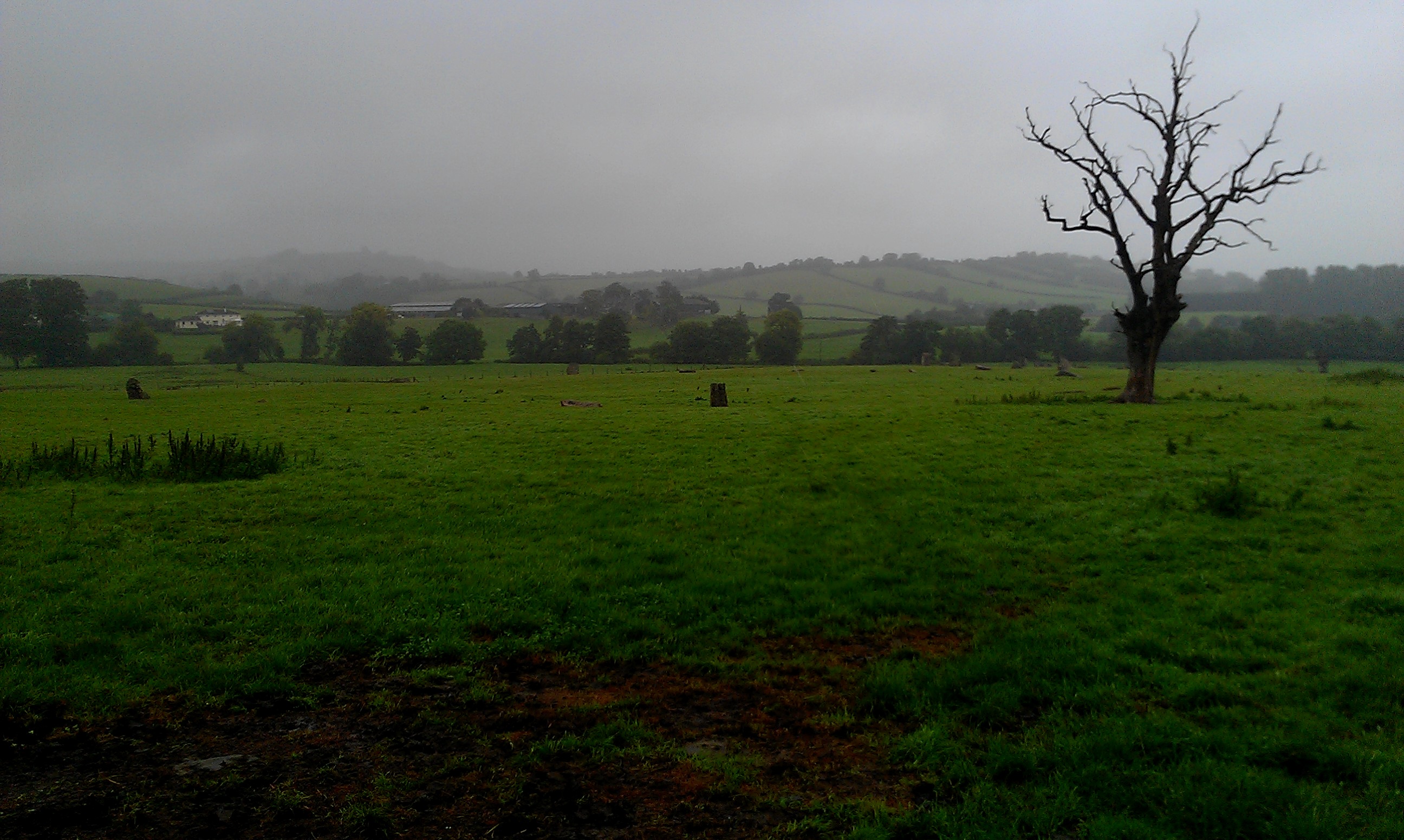
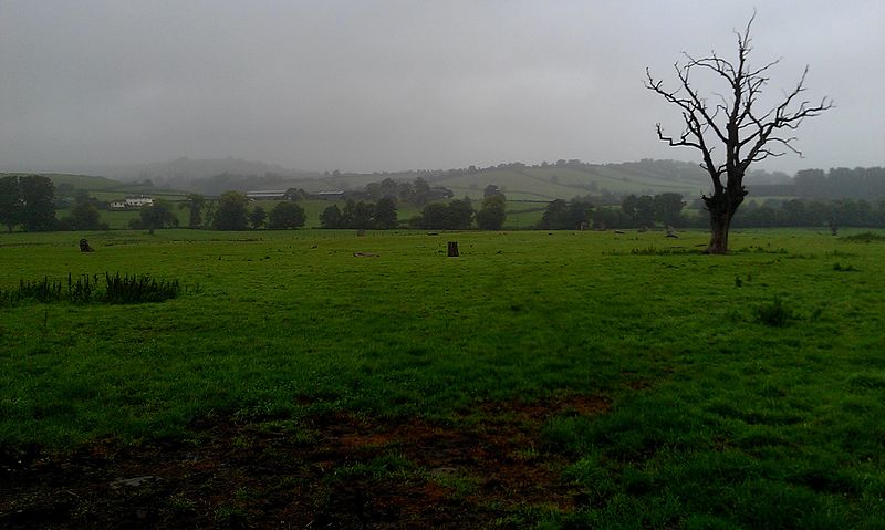
English: The landscape context of Stanton Drew stone circles in Somerset. To the left is the larger Grand Circle; in the far ground to the right of the picture can be seen the North-east circle.
|
|
| Date | ||
| Source | Own work by the original uploader | |
| Author | Ethan_Doyle_White |
| Camera location | | View this and other nearby images on: OpenStreetMap |
|---|
Licensing
edit
User:Ethan Doyle White, the copyright holder of this work, hereby publishes it under the following license:
This file is licensed under the Creative Commons Attribution-Share Alike 4.0 International license.
Attribution: User:Ethan Doyle White
- You are free:
- to share – to copy, distribute and transmit the work
- to remix – to adapt the work
- Under the following conditions:
- attribution – You must give appropriate credit, provide a link to the license, and indicate if changes were made. You may do so in any reasonable manner, but not in any way that suggests the licensor endorses you or your use.
- share alike – If you remix, transform, or build upon the material, you must distribute your contributions under the same or compatible license as the original.
Original upload log
edit
Transferred from en.wikipedia to Commons using For the Common Good.
The original description page was here. All following user names refer to en.wikipedia.
| Date/Time | Dimensions | User | Comment |
|---|---|---|---|
| 17:07, 11 September 2016 | 2,592 × 1,552 (1,042,438 bytes) | w:en:Ethan Doyle White (talk | contribs) | {{Information |Description = {{en|1=The landscape context of [[Stanton Drew stone circles]] in [[Somerset]]. To the left is the larger Grand Circle; in the far ground to the right of the picture can be seen the North-east circle.}} {{listed building... |
File history
Click on a date/time to view the file as it appeared at that time.
| Date/Time | Thumbnail | Dimensions | User | Comment | |
|---|---|---|---|---|---|
| current | 07:01, 30 September 2016 | | 2,592 × 1,552 (1,018 KB) | Kelly (talk | contribs) | Transferred from en.wikipedia: see original upload log above |
You cannot overwrite this file.
File usage on Commons
The following page uses this file: