File:Lazdijų rajono savivaldybė.svg

Size of this PNG preview of this SVG file: 450 × 599 pixels. Other resolutions: 180 × 240 pixels | 360 × 480 pixels | 577 × 768 pixels | 769 × 1,024 pixels | 1,538 × 2,048 pixels | 917 × 1,221 pixels.
Original file (SVG file, nominally 917 × 1,221 pixels, file size: 219 KB)
Captions
Captions
Add a one-line explanation of what this file represents
Summary
edit
| Description |
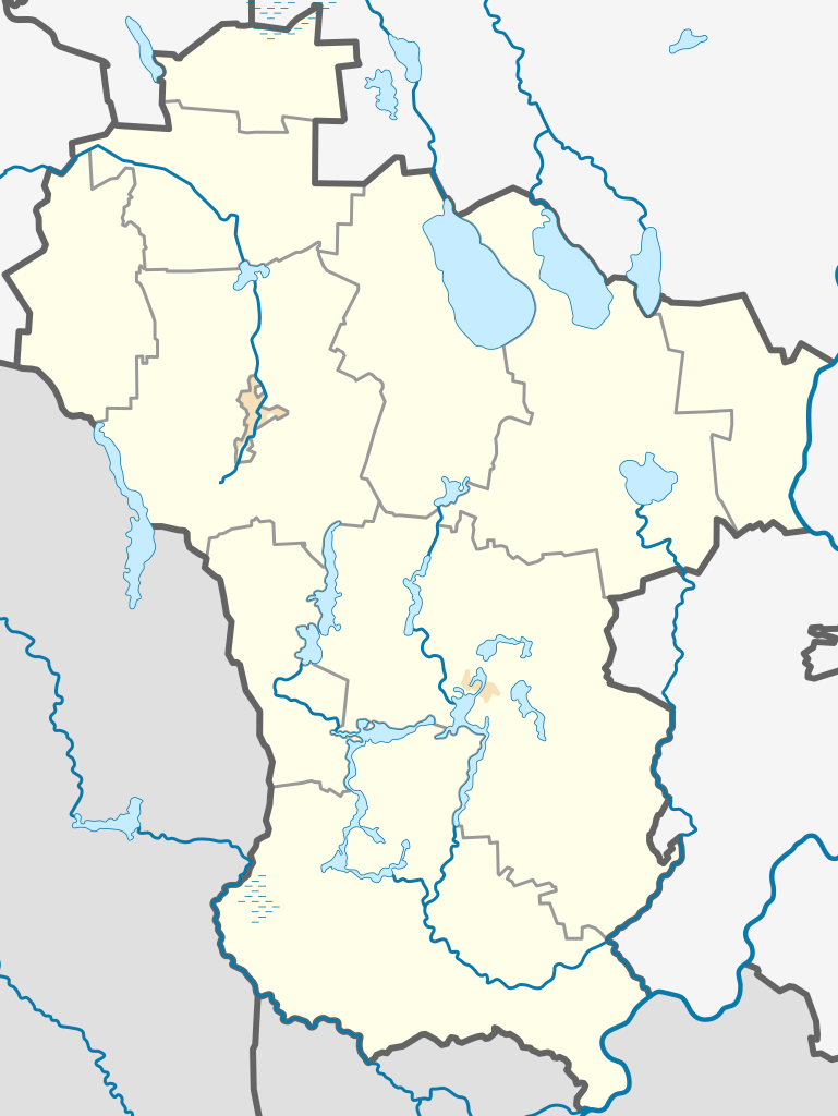
English: Location map of Lazdijai District Municipality, Lithuania
Lietuvių: Lazdijų rajono savivaldybės lokacinis žemėlapis |
| Date | |
| Source | Own work. The map was created using OpenStreetMap data. The administrative boundaries from REGIA |
| Author | Obivan Kenobi |
| SVG development |
Licensing
edit
I, the copyright holder of this work, hereby publish it under the following license:
| This file is made available under the Creative Commons CC0 1.0 Universal Public Domain Dedication. | |
| The person who associated a work with this deed has dedicated the work to the public domain by waiving all of their rights to the work worldwide under copyright law, including all related and neighboring rights, to the extent allowed by law. You can copy, modify, distribute and perform the work, even for commercial purposes, all without asking permission.
|
File history
Click on a date/time to view the file as it appeared at that time.
| Date/Time | Thumbnail | Dimensions | User | Comment | |
|---|---|---|---|---|---|
| current | 15:18, 15 February 2022 | | 917 × 1,221 (219 KB) | Obivan Kenobi (talk | contribs) | minor edit (color) |
| 16:50, 13 January 2022 |  | 917 × 1,221 (217 KB) | Obivan Kenobi (talk | contribs) | minor edit | |
| 11:44, 13 January 2022 |  | 917 × 1,221 (217 KB) | Obivan Kenobi (talk | contribs) | Uploaded own work with UploadWizard |
You cannot overwrite this file.
File usage on Commons
There are no pages that use this file.
File usage on other wikis
The following other wikis use this file:
- Usage on fr.wikipedia.org
- Usage on lt.wikipedia.org
- Šeštokai
- Lazdijų rajono savivaldybė
- Kapčiamiestis
- Seirijai
- Krosna
- Dzūkai (Lazdijai)
- Rudamina (Lazdijai)
- Kučiūnai
- Šventežeris
- Teizai
- Noragėliai
- Avižieniai (Lazdijai)
- Meteliai
- Aštrioji Kirsna
- Ančia (ežeras)
- Babrų ežeras
- Trikojis
- Galadusys
- Galstas
- Prapuntas
- Rimietis
- Seirijis
- Snaigynas
- Šlavantas
- Vernijis
- Vilkinys
- Zapsys
- Niedus
- Ilgis (Lazdijų r., Kapčiamiesčio sen.)
- Ilgis (Lazdijų r., Veisiejų sen., Šadžiūnų km.)
- Kaviškis
- Sagavas
- Akmenių ežeras
- Balsis (ežeras)
- Balandis (ežeras)
- Baltajis
- Dumblinis (Lazdijų r.)
- Gailiekas
- Juodas Kauknoris
- Palazdijis
- Ragažius
- Senkutis
- Stirtos
- Šlavantėlis
- Vidugašlis
- Ilgis (Lazdijų r., Veisiejų sen., Ilgininkų km.)
- Nemajūnai
- Prapuntai
- Miškiniai
View more global usage of this file.