File:Le Quillio - Alignements et chapelle de Notre-Dame de Lorette - AD22 - 16FI4556.jpg

Size of this preview: 800 × 509 pixels. Other resolutions: 320 × 204 pixels | 640 × 407 pixels | 1,024 × 652 pixels | 1,280 × 815 pixels | 1,646 × 1,048 pixels.
Original file (1,646 × 1,048 pixels, file size: 266 KB, MIME type: image/jpeg)
Captions
Captions
Add a one-line explanation of what this file represents
Summary edit
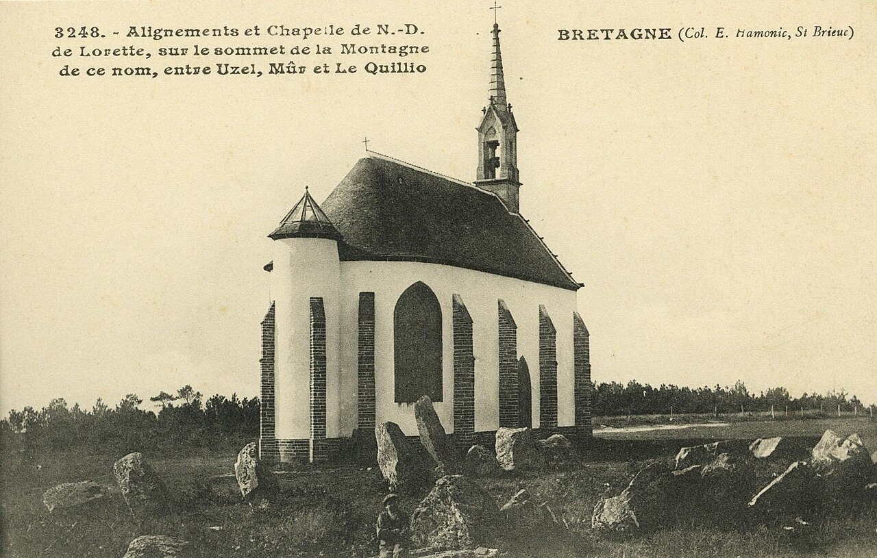
| Français : Carte postale des Côtes-d'Armor
( |
||||||||||||||
|---|---|---|---|---|---|---|---|---|---|---|---|---|---|---|
| Photographer |
Auteur inconnu |
|||||||||||||
| Title |
Français : Carte postale des Côtes-d'Armor |
|||||||||||||
| Description |
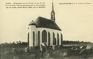
Alignements et chapelle de N.D. de Lorette, sur le sommet de la Montagne de ce nom, entre Uzel, Mûr et Le Quillio. |
|||||||||||||
| Depicted place | Le Quillio | |||||||||||||
| Date | sans date [1910-1920] | |||||||||||||
| Medium | Carte postale | |||||||||||||
| Dimensions | 9 X 14 | |||||||||||||
| Collection |
|
|||||||||||||
| Accession number |
AD22 - 16FI4556 |
|||||||||||||
| Source | https://datarmor.cotesdarmor.fr/data-presentation-ux/#/cg22/datasets/archives_numerisation_carte_postale/views/desc?hideControlPanel=true | |||||||||||||
| Object location | | View this and other nearby images on: OpenStreetMap |
|---|
Licensing edit
| This file is licensed under the Licence Ouverte 1.0 (License text, English license text).
|
File history
Click on a date/time to view the file as it appeared at that time.
| Date/Time | Thumbnail | Dimensions | User | Comment | |
|---|---|---|---|---|---|
| current | 15:35, 1 January 2021 | | 1,646 × 1,048 (266 KB) | Daieuxetdailleurs (talk | contribs) | erreur d'image dans jeu de données importé |
| 14:23, 1 January 2021 |  | 1,649 × 1,036 (380 KB) | Daieuxetdailleurs (talk | contribs) | pattypan 20.04 |
You cannot overwrite this file.
File usage on Commons
The following 3 pages use this file: