File:Le Verdelet depuis le sentier des Douaniers (GR 34) - panoramio.jpg

Size of this preview: 800 × 516 pixels. Other resolutions: 320 × 206 pixels | 640 × 413 pixels | 1,024 × 661 pixels | 1,440 × 929 pixels.
Original file (1,440 × 929 pixels, file size: 1.13 MB, MIME type: image/jpeg)
Captions
Captions
Add a one-line explanation of what this file represents
Summary
edit_-_panoramio.jpg&action=edit§ion=1)
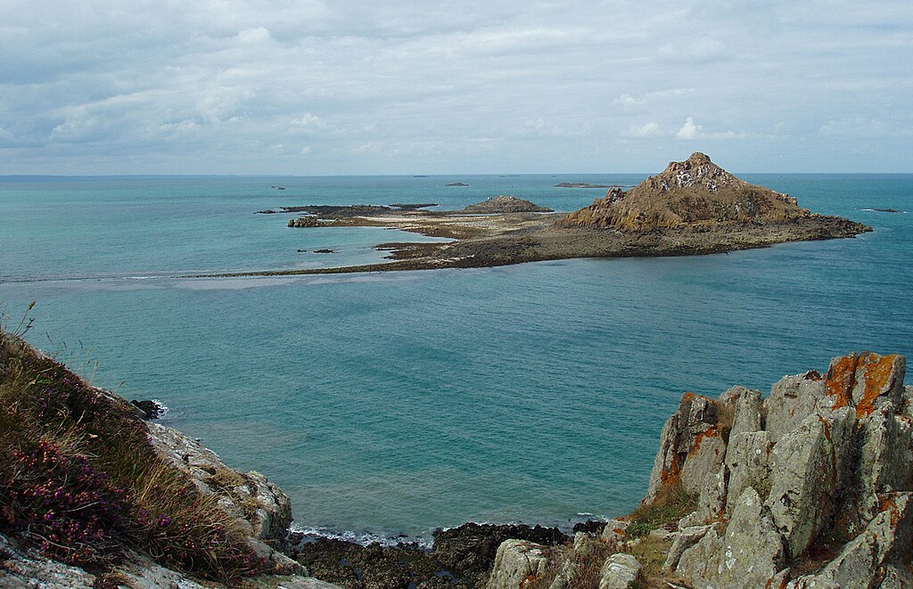
| Description | Le Verdelet depuis le sentier des Douaniers (GR 34) | ||
| Date | 18 August 2010 (original upload date) | ||
| Source | https://web.archive.org/web/20161015094850/http://www.panoramio.com/photo/39462436 | ||
| Author | Pierre Cobai | ||
| Permission (Reusing this file) |
This file is licensed under the Creative Commons Attribution-Share Alike 3.0 Unported license. Attribution: Pierre Cobai
|
| Camera location | | View this and other nearby images on: OpenStreetMap |
|---|
_-_panoramio.jpg¶ms=048.599870_N_-002.553205_E_globe:Earth_type:camera_source:Panoramio_&language=en)
File history
Click on a date/time to view the file as it appeared at that time.
| Date/Time | Thumbnail | Dimensions | User | Comment | |
|---|---|---|---|---|---|
| current | 21:38, 17 December 2016 | | 1,440 × 929 (1.13 MB) | Panoramio upload bot (talk | contribs) | == {{int:filedesc}} == {{Information |description=Le Verdelet depuis le sentier des Douaniers (GR 34) |date={{Original upload date|2010-08-18}} |source=http://www.panoramio.com/photo/39462436 |author=[http://www.panoramio.com/user/420040?with_photo_id=... |
You cannot overwrite this file.
File usage on Commons
There are no pages that use this file.
File usage on other wikis
The following other wikis use this file:
- Usage on de.wikipedia.org
_-_panoramio.jpg&oldid=465108265)