File:Le viaduc du chemin de fer à Orsay, qui franchit la rivière l'Yvette au crépuscule..jpg

Size of this preview: 450 × 600 pixels. Other resolutions: 180 × 240 pixels | 360 × 480 pixels | 576 × 768 pixels | 768 × 1,024 pixels | 1,536 × 2,048 pixels | 3,456 × 4,608 pixels.
Original file (3,456 × 4,608 pixels, file size: 4.99 MB, MIME type: image/jpeg)
Captions
Captions
Add a one-line explanation of what this file represents
Summary edit
| Description |
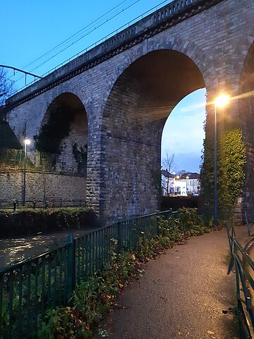
Français : Le viaduc du RER à Orsay, qui franchit deux routes et une rivière. Vue du pied Ouest du viaduc, sur le trottoir qui longe la rivière l'Yvette remplie par les fortes récentes. Photo prise avec un téléphone portable Samsung A40 le samedi 9 décembre 2023 au crépuscule du soir. |
| Date | 9 December 2023 (according to Exif data) |
| Source | Own work |
| Author | Wikisquack |
| Camera location | | View this and other nearby images on: OpenStreetMap |
|---|
Licensing edit
I, the copyright holder of this work, hereby publish it under the following license:
This file is licensed under the Creative Commons Attribution 4.0 International license.
- You are free:
- to share – to copy, distribute and transmit the work
- to remix – to adapt the work
- Under the following conditions:
- attribution – You must give appropriate credit, provide a link to the license, and indicate if changes were made. You may do so in any reasonable manner, but not in any way that suggests the licensor endorses you or your use.
| This file was uploaded via Mobile Android App (Commons mobile app) 4.2.1~14b6c455b. |
File history
Click on a date/time to view the file as it appeared at that time.
| Date/Time | Thumbnail | Dimensions | User | Comment | |
|---|---|---|---|---|---|
| current | 12:05, 10 December 2023 | | 3,456 × 4,608 (4.99 MB) | Wikisquack (talk | contribs) | Uploaded using Commons Mobile App |
You cannot overwrite this file.
File usage on Commons
The following page uses this file: