File:Letiště Benešov - ČÚZK (2021).jpg

Size of this preview: 800 × 600 pixels. Other resolutions: 320 × 240 pixels | 640 × 480 pixels | 1,024 × 768 pixels | 1,280 × 960 pixels | 2,560 × 1,920 pixels | 5,751 × 4,313 pixels.
Original file (5,751 × 4,313 pixels, file size: 7.29 MB, MIME type: image/jpeg)
Captions
Captions
Add a one-line explanation of what this file represents
Summary
edit.jpg&action=edit§ion=1)
| Description |
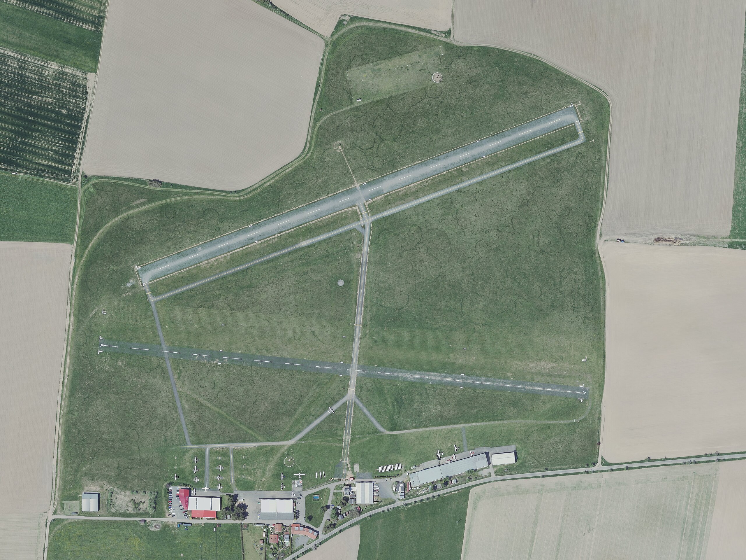
Čeština: Letiště Benešov - ortofoto (snímkováno 10. 5. 2021) |
| Date | |
| Source | Geoprohlížeč - Ortofoto ČR |
| Author | Český úřad zeměměřický a katastrální (https://ags.cuzk.cz/opendata/) |
Licensing
edit.jpg&action=edit§ion=2)
This file is licensed under the Creative Commons Attribution 4.0 International license.
Attribution: Český úřad zeměměřický a katastrální (https://ags.cuzk.cz/opendata/)
- You are free:
- to share – to copy, distribute and transmit the work
- to remix – to adapt the work
- Under the following conditions:
- attribution – You must give appropriate credit, provide a link to the license, and indicate if changes were made. You may do so in any reasonable manner, but not in any way that suggests the licensor endorses you or your use.
File history
Click on a date/time to view the file as it appeared at that time.
| Date/Time | Thumbnail | Dimensions | User | Comment | |
|---|---|---|---|---|---|
| current | 23:45, 30 December 2023 | | 5,751 × 4,313 (7.29 MB) | Harold (talk | contribs) | {{Information |Description= {{cs|1=Letiště Benešov - ortofoto (snímkováno 10. 5. 2021)}} |Source= [https://ags.cuzk.cz/geoprohlizec?p=22524&extent=-732982.9799339588,-1083831.794386587,-731062.7360934712,-1082954.6830073642 Geoprohlížeč - Ortofoto ČR] |Date= 2021-05-10 |Author= Český úřad zeměměřický a katastrální (https://ags.cuzk.cz/opendata/) |Permission= |other_versions= }} =={{int:license-header}}== {{Cc-by-4.0|Český úřad zeměměřický a katastrální (https://ags.cuzk.cz/opendata/)}} [[Ca... |
You cannot overwrite this file.
File usage on Commons
There are no pages that use this file.
File usage on other wikis
The following other wikis use this file:
- Usage on cs.wikipedia.org
.jpg&oldid=842026245)