File:Leysburnfoot (geograph 1896642) (cropped).jpg
Size of this preview: 800 × 532 pixels. Other resolutions: 320 × 213 pixels | 640 × 426 pixels | 1,024 × 681 pixels | 1,280 × 851 pixels | 2,494 × 1,659 pixels.
Original file (2,494 × 1,659 pixels, file size: 982 KB, MIME type: image/jpeg)
Captions
Captions
Add a one-line explanation of what this file represents
Summary
edit| Description |
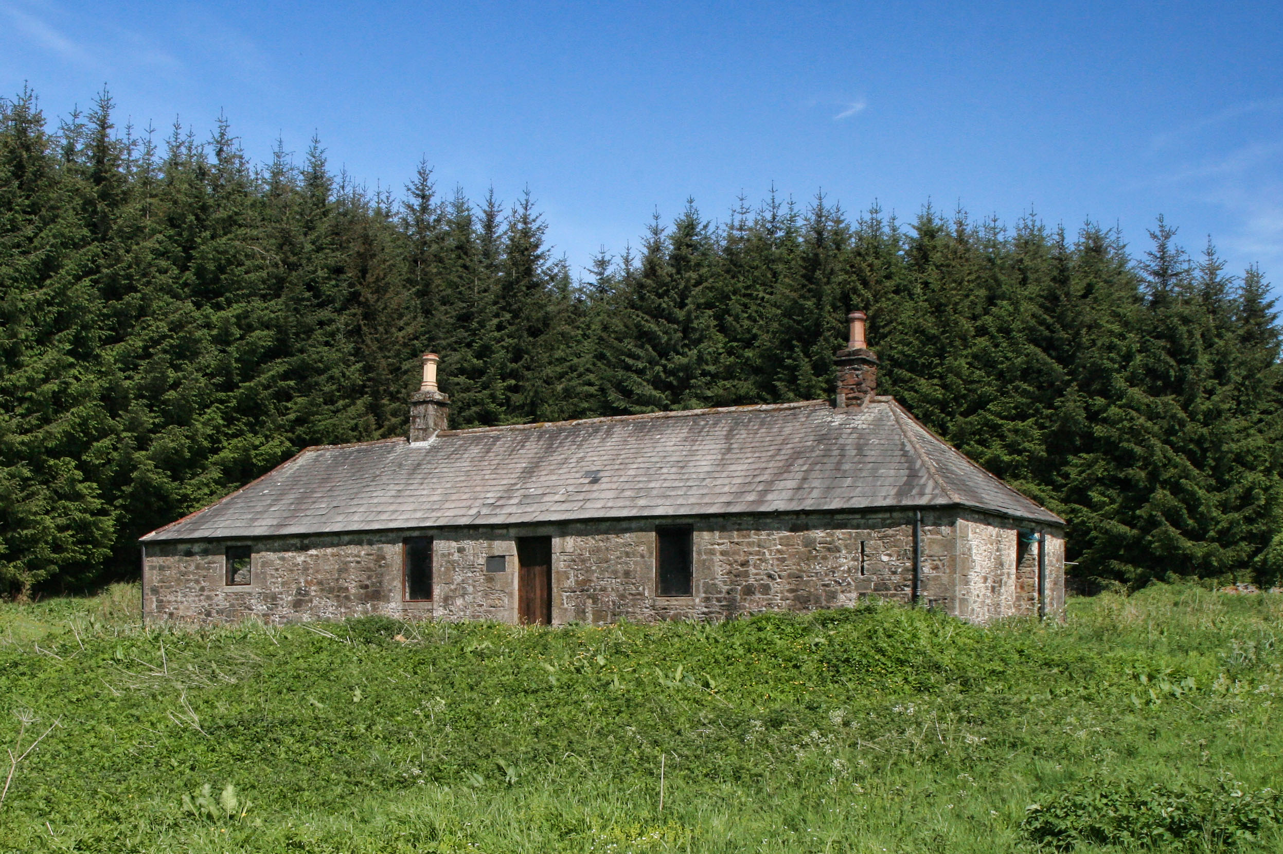
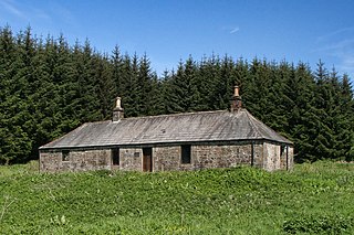
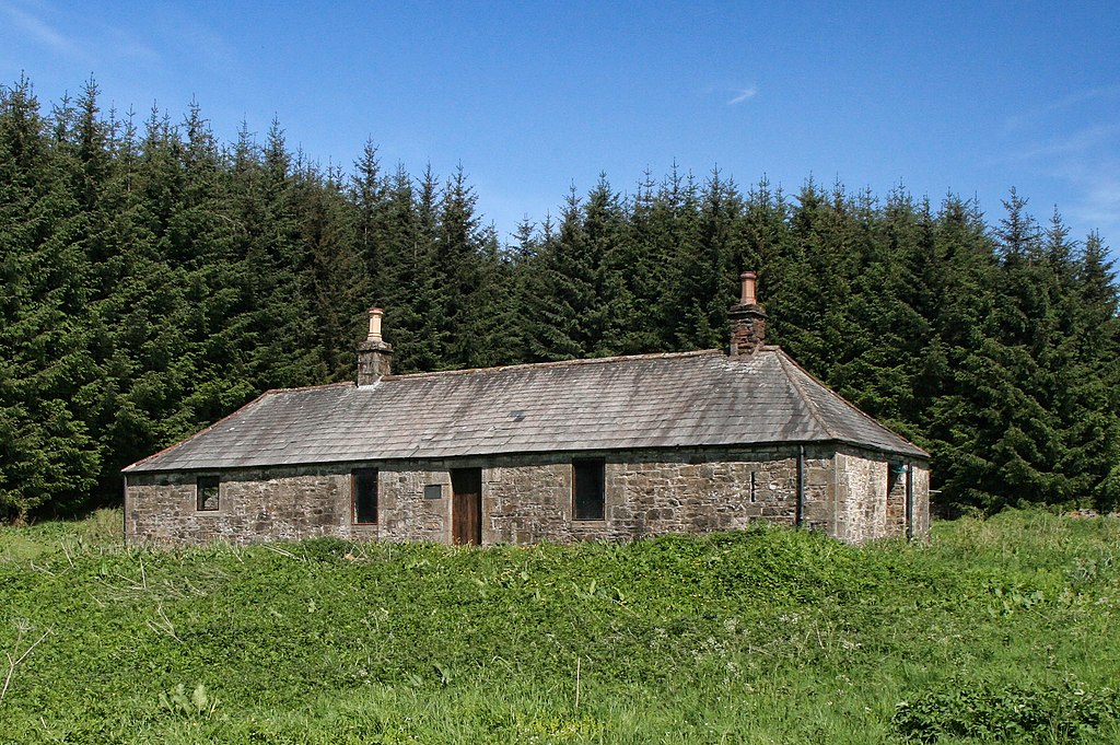
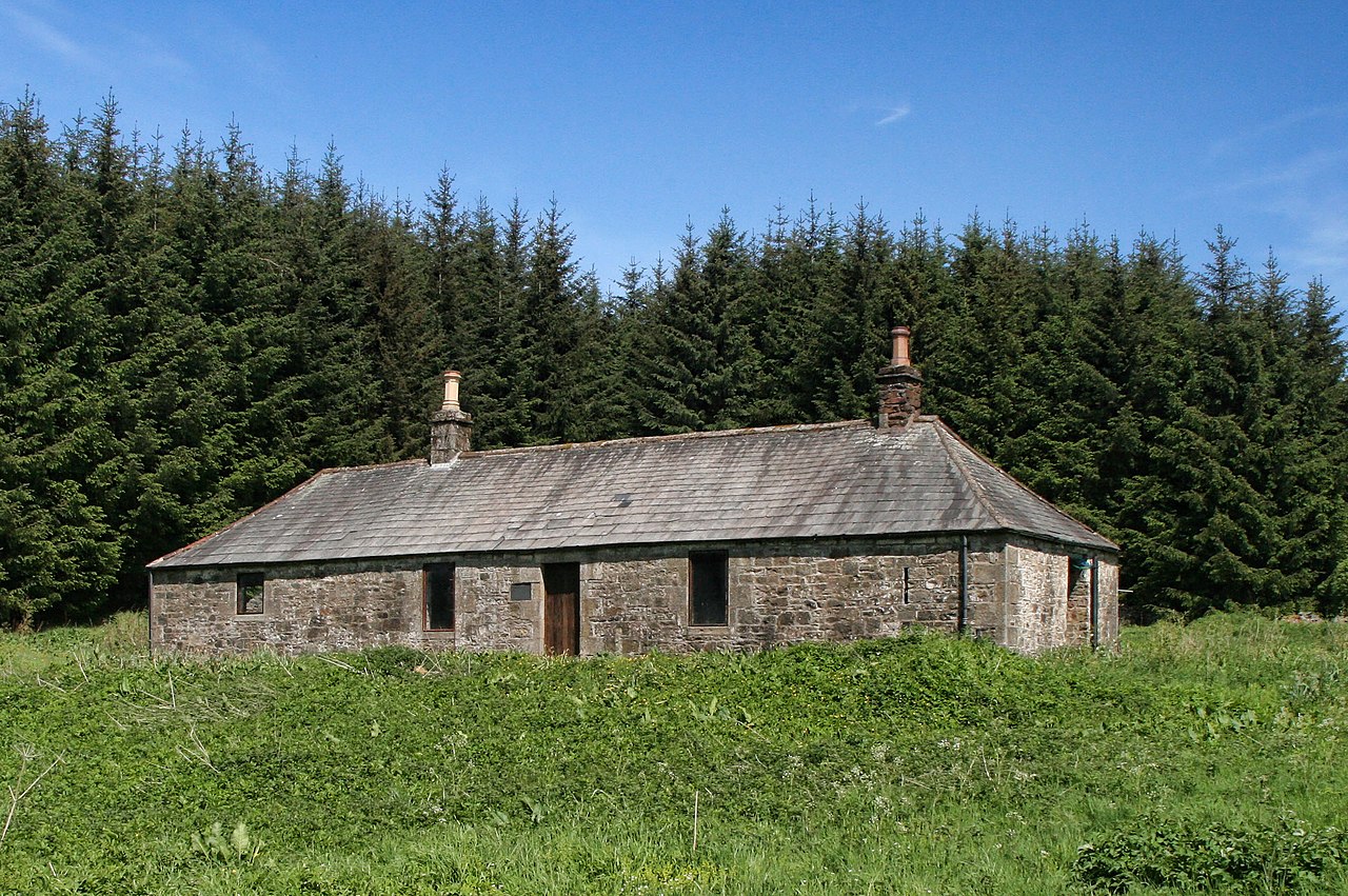
English: Leysburnfoot |
| Date | |
| Source |
This file was derived from: Leysburnfoot (geograph 1896642).jpg |
| Author | Peter McDermott |
| Permission (Reusing this file) |
Creative Commons Attribution Share-alike license 2.0 |
| Attribution (required by the license) | Peter McDermott / Leysburnfoot / |
| Camera location | | View this and other nearby images on: OpenStreetMap |
|---|
| Object location | | View this and other nearby images on: OpenStreetMap |
|---|
.jpg)
_(cropped).jpg&action=edit§ion=1)
_(cropped).jpg¶ms=055.270825_N_-002.731122_E_globe:Earth_type:camera_source:geograph-osgb36(NY5364497652)_heading:0.00&language=en)
_(cropped).jpg¶ms=055.271170_N_-002.731190_E_globe:Earth_class:object_type:object_source:geograph-osgb36(NY53649769)_heading:0.00&language=en)
Licensing
edit_(cropped).jpg&action=edit§ion=2)
This file is licensed under the Creative Commons Attribution-Share Alike 2.0 Generic license.
Attribution: Peter McDermott
- You are free:
- to share – to copy, distribute and transmit the work
- to remix – to adapt the work
- Under the following conditions:
- attribution – You must give appropriate credit, provide a link to the license, and indicate if changes were made. You may do so in any reasonable manner, but not in any way that suggests the licensor endorses you or your use.
- share alike – If you remix, transform, or build upon the material, you must distribute your contributions under the same or compatible license as the original.
File history
Click on a date/time to view the file as it appeared at that time.
| Date/Time | Thumbnail | Dimensions | User | Comment | |
|---|---|---|---|---|---|
| current | 22:08, 12 June 2019 | | 2,494 × 1,659 (982 KB) | Thincat (talk | contribs) | File:Leysburnfoot (geograph 1896642).jpg cropped 36 % horizontally, 36 % vertically using CropTool with lossless mode. |
You cannot overwrite this file.
File usage on Commons
The following page uses this file:
File usage on other wikis
The following other wikis use this file:
- Usage on en.wikipedia.org
_(cropped).jpg&oldid=718017412)