File:Lichtenberg - aerial view 4.jpg

Size of this preview: 740 × 600 pixels. Other resolutions: 296 × 240 pixels | 593 × 480 pixels | 948 × 768 pixels | 1,264 × 1,024 pixels | 1,797 × 1,456 pixels.
Original file (1,797 × 1,456 pixels, file size: 767 KB, MIME type: image/jpeg)
Captions
Captions
Add a one-line explanation of what this file represents
Summary
edit
| Description |
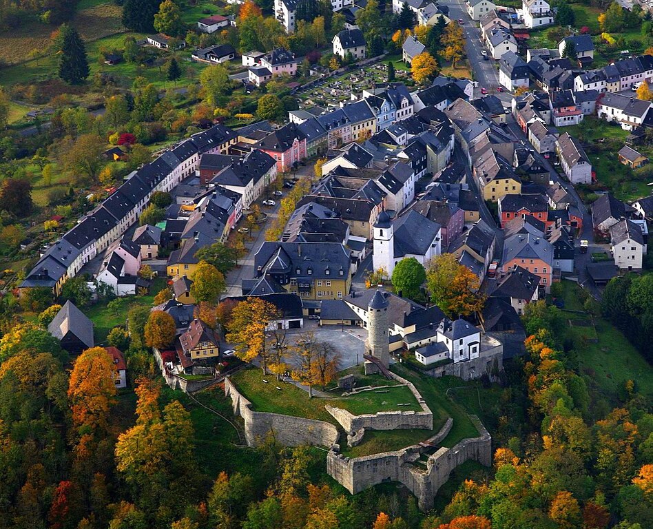
English: Aerial view of Lichtenberg (Upper Franconia) with the castle in the foreground.
|
| Date | |
| Source | Own work |
| Author | HelmutWelte |
| Camera location | | View this and other nearby images on: OpenStreetMap |
|---|
Licensing
edit
I, the copyright holder of this work, hereby publish it under the following license:
This file is licensed under the Creative Commons Attribution 3.0 Unported license.
- You are free:
- to share – to copy, distribute and transmit the work
- to remix – to adapt the work
- Under the following conditions:
- attribution – You must give appropriate credit, provide a link to the license, and indicate if changes were made. You may do so in any reasonable manner, but not in any way that suggests the licensor endorses you or your use.
File history
Click on a date/time to view the file as it appeared at that time.
| Date/Time | Thumbnail | Dimensions | User | Comment | |
|---|---|---|---|---|---|
| current | 18:27, 21 August 2014 | | 1,797 × 1,456 (767 KB) | HelmutWelte (talk | contribs) | Realized that the first version is a bit rotated. So rotated it by 1.5 degree to the right and cropped it. |
| 18:21, 21 August 2014 |  | 1,837 × 1,504 (1.18 MB) | HelmutWelte (talk | contribs) | {{Information |Description ={{en|1=Aerial view of Lichtenberg (Upper Franconia) with the castle in the foreground.}} {{de|1=Luftbild von Lichtenberg (Oberfranken) mit der [[:de:Burg Lich... |
You cannot overwrite this file.
File usage on Commons
There are no pages that use this file.
File usage on other wikis
The following other wikis use this file:
- Usage on de.wikipedia.org