File:Lienzing Karte 1893.jpg

Size of this preview: 800 × 585 pixels. Other resolutions: 320 × 234 pixels | 640 × 468 pixels | 892 × 652 pixels.
Original file (892 × 652 pixels, file size: 154 KB, MIME type: image/jpeg)
Captions
Captions
Add a one-line explanation of what this file represents
Summary
edit
| Description |
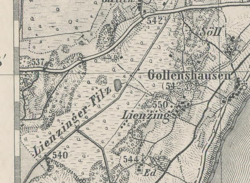
English: 1893 map of Lienzing and environs, west of Chiemsee Lake, upper Bavaria, scale 1:50,000 |
| Date | |
| Source | http://www.bayerische-landesbibliothek-online.de/orte/ortssuche_action.html, digitalisierte historische Karten, Topographischer Atlas vom Königreiche Baiern Blatt: 85 . Traunstein (West) |
| Author | Bavarian Survey |
Licensing
edit
|
This work is in the public domain in its country of origin and other countries and areas where the copyright term is the author's life plus 100 years or fewer. | |
| This file has been identified as being free of known restrictions under copyright law, including all related and neighboring rights. | |
File history
Click on a date/time to view the file as it appeared at that time.
| Date/Time | Thumbnail | Dimensions | User | Comment | |
|---|---|---|---|---|---|
| current | 21:25, 18 March 2012 | | 892 × 652 (154 KB) | Ratzer (talk | contribs) | {{Information |Description ={{en|1=1893 map of Lienzing and environs, west of Chiemsee Lake, upper Bavaria, scale 1:50,000}} |Source =http://www.bayerische-landesbibliothek-online.de/orte/ortssuche_action.html, digitalisierte historische Kar... |
You cannot overwrite this file.
File usage on Commons
There are no pages that use this file.
File usage on other wikis
The following other wikis use this file:
- Usage on de.wikipedia.org
- Usage on zh.wikipedia.org