File:Light railway platform, at Blennerville Bridge station (geograph 3480662).jpg
Size of this preview: 800 × 600 pixels. Other resolutions: 320 × 240 pixels | 640 × 480 pixels | 1,024 × 768 pixels.
Original file (1,024 × 768 pixels, file size: 181 KB, MIME type: image/jpeg)
Captions
Captions
Add a one-line explanation of what this file represents
Summary
edit.jpg&action=edit§ion=1)
| Description |
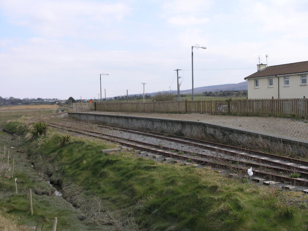
English: Light railway platform, at Blennerville Bridge station The short stretch of narrow gauge railway between Blennerville Bridge and Ballyard Bridge stations is virtually all that now remains of the Tralee and Dingle Light Railway. The railway closed to passenger traffic on 17 April 1939 with one daily goods train a day running from then on until 1947 when a single train was run once a month to transport cattle to the fair in Dingle. The line finally closed in June 1953. In 1993, a 13km stretch was reopened as a preserved line; however, this closed in 2007 and has not been run since. Only a short stretch of this line now remains. |
| Date | |
| Source | From geograph.org.uk |
| Author | Hywel Williams |
| Permission (Reusing this file) |
Creative Commons Attribution Share-alike license 2.0 |
| Attribution (required by the license) | Hywel Williams / Light railway platform, at Blennerville Bridge station / |
| Camera location | | View this and other nearby images on: OpenStreetMap |
|---|
.jpg¶ms=052.256876_N_-009.735102_E_globe:Earth_type:camera_source:geograph-irishgrid(Q81571305)_heading:112.00&language=en)
| Object location | | View this and other nearby images on: OpenStreetMap |
|---|
.jpg¶ms=052.256700_N_-009.734660_E_globe:Earth_class:object_type:object_source:geograph-irishgrid(Q81601303)_heading:112.00&language=en)
Licensing
edit.jpg&action=edit§ion=2)

|
This image was taken from the Geograph project collection. See this photograph's page on the Geograph website for the photographer's contact details. The copyright on this image is owned by Hywel Williams and is licensed for reuse under the Creative Commons Attribution-ShareAlike 2.0 license.
|
This file is licensed under the Creative Commons Attribution-Share Alike 2.0 Generic license.
Attribution: Hywel Williams
- You are free:
- to share – to copy, distribute and transmit the work
- to remix – to adapt the work
- Under the following conditions:
- attribution – You must give appropriate credit, provide a link to the license, and indicate if changes were made. You may do so in any reasonable manner, but not in any way that suggests the licensor endorses you or your use.
- share alike – If you remix, transform, or build upon the material, you must distribute your contributions under the same or compatible license as the original.
File history
Click on a date/time to view the file as it appeared at that time.
| Date/Time | Thumbnail | Dimensions | User | Comment | |
|---|---|---|---|---|---|
| current | 21:11, 10 December 2020 | | 1,024 × 768 (181 KB) | Lamberhurst (talk | contribs) | Transferred from geograph.co.uk using [https://tools.wmflabs.org/geograph2commons/ geograph2commons] |
You cannot overwrite this file.
File usage on Commons
There are no pages that use this file.
.jpg&oldid=650254599)