File:Lille le Pont Napoléon en Janv 2021.jpg

Size of this preview: 800 × 600 pixels. Other resolutions: 320 × 240 pixels | 640 × 480 pixels | 1,024 × 768 pixels | 1,280 × 960 pixels | 2,560 × 1,920 pixels | 3,648 × 2,736 pixels.
Original file (3,648 × 2,736 pixels, file size: 2.24 MB, MIME type: image/jpeg)
Captions
Captions
Add a one-line explanation of what this file represents
Summary edit
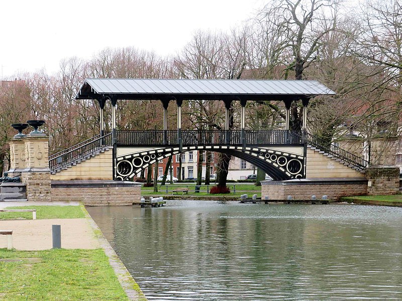
| Description |
Français : "Pont Napoléon", qui enjambe une section canalisée de la rivière Moyenne-Deûle à Lille, près de la Citadelle Vauban. English: "Pont Napoléon" that spans a canalised section of Middle River Deûle in Lille, near the Vauban Citadel. |
||||
| Date | |||||
| Source | Own work | ||||
| Author | Pierre André | ||||
| Permission (Reusing this file) |
|
.jpg)

| Camera location | | View this and other nearby images on: OpenStreetMap |
|---|
Licensing edit
I, the copyright holder of this work, hereby publish it under the following license:
This file is licensed under the Creative Commons Attribution-Share Alike 4.0 International license.
- You are free:
- to share – to copy, distribute and transmit the work
- to remix – to adapt the work
- Under the following conditions:
- attribution – You must give appropriate credit, provide a link to the license, and indicate if changes were made. You may do so in any reasonable manner, but not in any way that suggests the licensor endorses you or your use.
- share alike – If you remix, transform, or build upon the material, you must distribute your contributions under the same or compatible license as the original.
| Annotations | This image is annotated: View the annotations at Commons |
.JPG)
This image has been assessed using the Quality image guidelines and is considered a Quality image.
|
File history
Click on a date/time to view the file as it appeared at that time.
| Date/Time | Thumbnail | Dimensions | User | Comment | |
|---|---|---|---|---|---|
| current | 23:04, 7 February 2021 | | 3,648 × 2,736 (2.24 MB) | Pierre André Leclercq (talk | contribs) |
You cannot overwrite this file.
File usage on Commons
The following 10 pages use this file:
- User:Pierre André Leclercq/Gallery/Challenges depuis 2014
- User:Pierre André Leclercq/Gallery/France/Région/Hauts-de-France/Arrondissement de Lille
- User:Pierre André Leclercq/gallery/2021
- User:Pierre André Leclercq/gallery/2021/1er trimestre
- User talk:Pierre André Leclercq/Archive 9
- Commons:Photo challenge/2021 - February - Bridges
- Commons:Photo challenge/2021 - February - Bridges/Voting
- Commons:Photo challenge/2021 - February - Bridges/Voting/Result
- Commons:Quality images/Subject/Architecture/Transport Infrastructure/Other
- Commons:Quality images candidates/Archives March 12 2021