File:Lipka (gmina) location map.png
Size of this preview: 800 × 448 pixels. Other resolutions: 320 × 179 pixels | 640 × 358 pixels | 1,149 × 643 pixels.
Original file (1,149 × 643 pixels, file size: 145 KB, MIME type: image/png)
Captions
Captions
Add a one-line explanation of what this file represents
| Description |
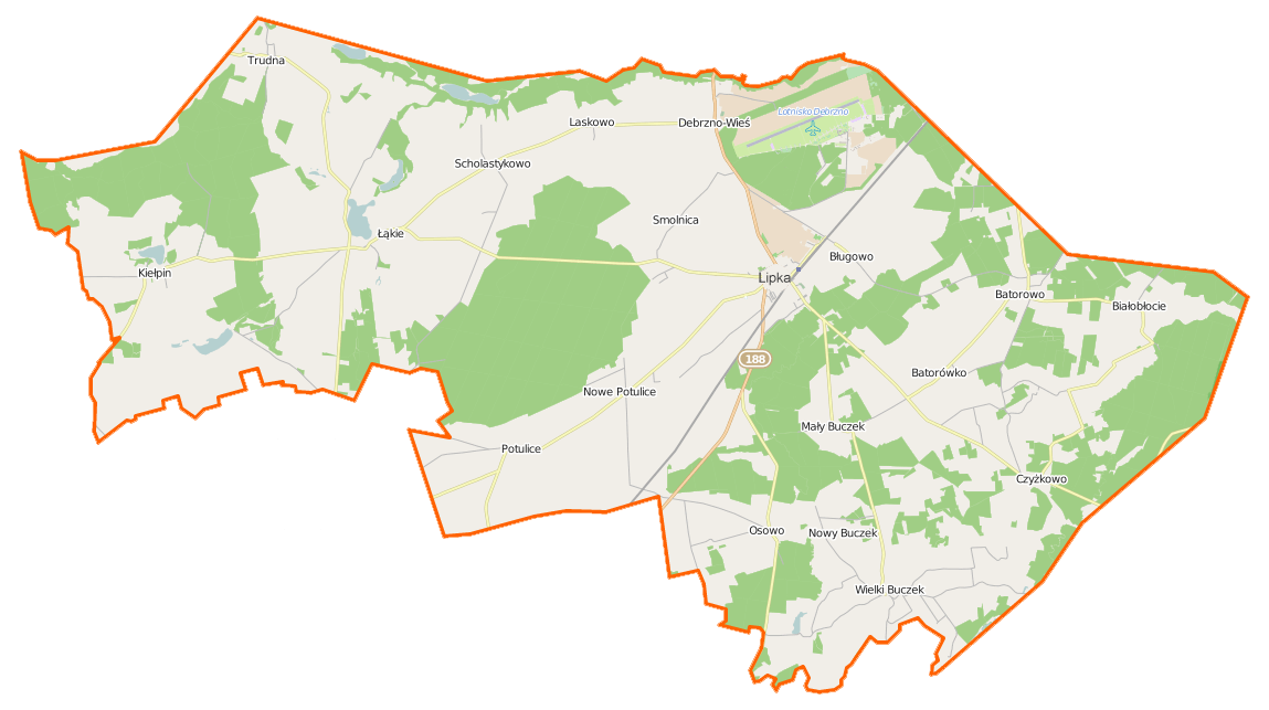
Polski: Mapa gminy Lipka, Polska
English: Map of Gmina Lipka, Poland |
|||||||||
| Date | ||||||||||
| Source | You may find a page on the OpenStreetMap wiki page for Lipka (gmina) | |||||||||
| Creator |
OpenStreetMap contributors OpenStreetMap contributors |
|||||||||
| Permission (Reusing this file) |
OpenStreetMap data is available under the Open Database License (details). Map tiles are licensed under the Creative Commons Attribution-ShareAlike 2.0 license (CC-BY-SA 2.0).
This file is licensed under the Creative Commons Attribution-Share Alike 2.0 Generic license.
|
|||||||||
| Geotemporal data | ||||||||||
| Bounding box |
|
|||||||||
| Georeferencing | If inappropriate please set warp_status = skip to hide. | |||||||||
File history
Click on a date/time to view the file as it appeared at that time.
| Date/Time | Thumbnail | Dimensions | User | Comment | |
|---|---|---|---|---|---|
| current | 15:07, 5 January 2015 | | 1,149 × 643 (145 KB) | VanWiel (talk | contribs) | {{OpenStreetMap | name = Lipka (gmina) | location = Lipka (gmina) | description = {{pl|Mapa gminy Lipka, Polska}} {{en|Map of Gmina Lipka, Poland}} | top = 53.5472 | bottom = 53.4159 | left... |
You cannot overwrite this file.
File usage on Commons
There are no pages that use this file.
File usage on other wikis
The following other wikis use this file:
- Usage on fr.wikipedia.org
- Usage on pl.wikipedia.org
- Lipka (powiat złotowski)
- Lipka (gmina)
- Batorówko
- Czyżkowo
- Debrzno-Wieś
- Mały Buczek (powiat złotowski)
- Nowe Potulice
- Nowy Buczek
- Trudna
- Białobłocie (wieś w województwie wielkopolskim)
- Kiełpin (województwo wielkopolskie)
- Batorowo (powiat złotowski)
- Laskowo (powiat złotowski)
- Łąkie (powiat złotowski)
- Osowo (powiat złotowski)
- Potulice (powiat złotowski)
- Wielki Buczek (powiat złotowski)
- Scholastykowo
- Smolnica (powiat złotowski)
- Bługowo (gmina Lipka)
- Gogolin (województwo wielkopolskie)
- Stołuńsko
- Huta (Łąkie)
- Czyżkówko (Czyżkowo)
- Lipka Krajeńska
- Cmentarz żydowski w Debrznie Wsi
- Parafia św. Katarzyny w Lipce
- Białobłocie (osada leśna w województwie wielkopolskim)
- Lądowisko Debrzno
- Kościół św. Katarzyny w Lipce
- Moduł:Mapa/dane/Lipka (gmina)
- Parafia Świętej Trójcy w Wielkim Buczku
- Pałac w Debrznie-Wsi
- Kościół Dobrego Pasterza w Batorowie
- Kościół Niepokalanego Poczęcia Najświętszej Maryi Panny w Debrznie-Wsi
- Kościół Świętej Trójcy w Wielkim Buczku
- Świdnik (jezioro w powiecie złotowskim)
- Łąkie (jezioro w powiecie złotowskim)
- Wielki Gogolin
- Jezioro Kiełpińskie (powiat złotowski)
- Usage on pl.wikibooks.org
_location_map.png&oldid=519974585)