File:Littardkuhlen (2) - WP.JPG
Size of this preview: 800 × 600 pixels. Other resolutions: 320 × 240 pixels | 640 × 480 pixels | 1,024 × 768 pixels | 1,280 × 960 pixels | 2,560 × 1,920 pixels | 4,608 × 3,456 pixels.
Original file (4,608 × 3,456 pixels, file size: 4.93 MB, MIME type: image/jpeg)
Captions
Captions
Add a one-line explanation of what this file represents
Summary
edit_-_WP.JPG&action=edit§ion=1)
| Description |
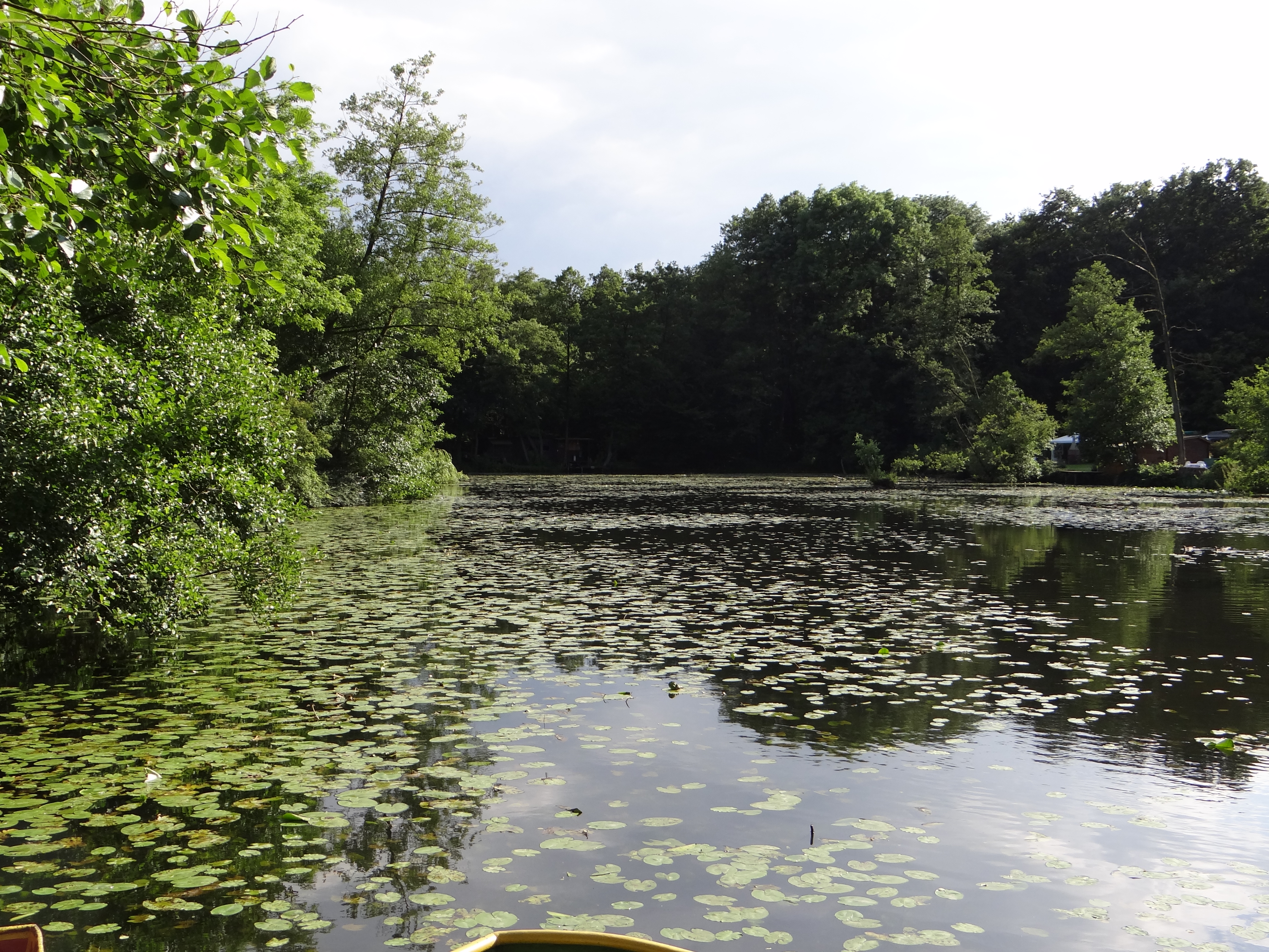
Deutsch: Die Littardkuhlen am Littard bei Rheurdt, ehemalige Torfstichkuhlen; abgebildeter Bereich seit 2013 im Naturschutzgebiet „Rheurdt-Schaephuysener Kuhlenzug“ (NSG KLE-061)
English: The Littardkuhlen, a long lake around the Littard forrest near Rheurdt, Germany. The lake is the result of peat cutting in the 19th century and before. |
| Date | Taken on 19 July 2012 |
| Source | Own work |
| Author | Tetris L |
| Camera location | | View this and other nearby images on: OpenStreetMap |
|---|
_-_WP.JPG¶ms=051.455068_N_0006.501876_E_globe:Earth_type:camera_heading:180.75&language=en)
Licensing
edit_-_WP.JPG&action=edit§ion=2)
I, the copyright holder of this work, hereby publish it under the following license:
This file is licensed under the Creative Commons Attribution-Share Alike 3.0 Unported license.
- You are free:
- to share – to copy, distribute and transmit the work
- to remix – to adapt the work
- Under the following conditions:
- attribution – You must give appropriate credit, provide a link to the license, and indicate if changes were made. You may do so in any reasonable manner, but not in any way that suggests the licensor endorses you or your use.
- share alike – If you remix, transform, or build upon the material, you must distribute your contributions under the same or compatible license as the original.
File history
Click on a date/time to view the file as it appeared at that time.
| Date/Time | Thumbnail | Dimensions | User | Comment | |
|---|---|---|---|---|---|
| current | 19:08, 19 July 2012 | | 4,608 × 3,456 (4.93 MB) | Tetris L (talk | contribs) |
You cannot overwrite this file.
File usage on Commons
The following 3 pages use this file:
File usage on other wikis
The following other wikis use this file:
- Usage on be.wikipedia.org
- Usage on ceb.wikipedia.org
- Usage on ce.wikipedia.org
- Usage on de.wikipedia.org
- Usage on eo.wikipedia.org
- Usage on es.wikipedia.org
- Usage on eu.wikipedia.org
- Usage on fr.wikipedia.org
- Usage on hu.wikipedia.org
- Usage on it.wikipedia.org
- Usage on ku.wikipedia.org
- Usage on pl.wikipedia.org
- Usage on pt.wikipedia.org
- Usage on ro.wikipedia.org
- Usage on ru.wikipedia.org
- Usage on sr.wikipedia.org
- Usage on tt.wikipedia.org
- Usage on uk.wikipedia.org
- Usage on uz.wikipedia.org
- Usage on vi.wikipedia.org
- Usage on www.wikidata.org
_-_WP.JPG&oldid=752537102)