File:LocationGriqualandEast.svg

Size of this PNG preview of this SVG file: 800 × 400 pixels. Other resolutions: 320 × 160 pixels | 640 × 320 pixels | 1,024 × 512 pixels | 1,280 × 640 pixels | 2,560 × 1,280 pixels | 1,000 × 500 pixels.
Original file (SVG file, nominally 1,000 × 500 pixels, file size: 2.72 MB)
Captions
Captions
Add a one-line explanation of what this file represents
Summary
edit
| Description |
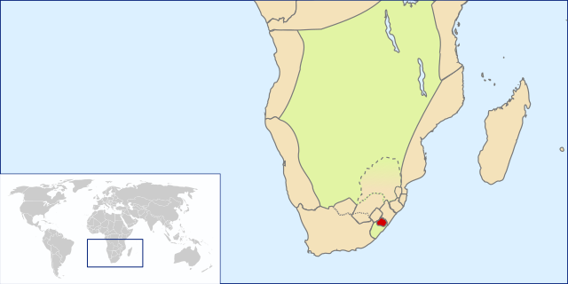
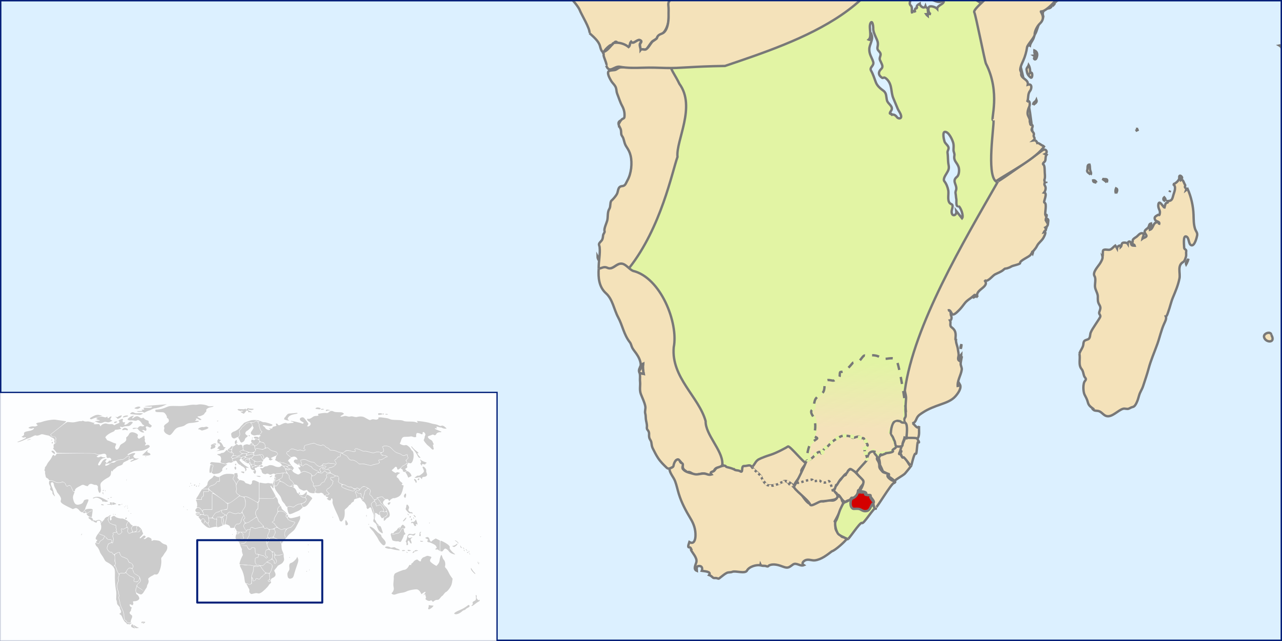
English: Location of Griqualand East, Southern Africa, ~1861(?)-1874 before annexation into Cape Colony |
| Date | |
| Source | Own work by uploader based on File:LocationSouthAfrica.svg |
| Author | Seb az86556 |
Licensing
edit
I, the copyright holder of this work, hereby publish it under the following license:
This file is licensed under the Creative Commons Attribution 3.0 Unported license.
- You are free:
- to share – to copy, distribute and transmit the work
- to remix – to adapt the work
- Under the following conditions:
- attribution – You must give appropriate credit, provide a link to the license, and indicate if changes were made. You may do so in any reasonable manner, but not in any way that suggests the licensor endorses you or your use.
File history
Click on a date/time to view the file as it appeared at that time.
| Date/Time | Thumbnail | Dimensions | User | Comment | |
|---|---|---|---|---|---|
| current | 09:00, 1 August 2009 | | 1,000 × 500 (2.72 MB) | Seb az86556 (talk | contribs) | adjusted borders |
| 17:43, 31 July 2009 |  | 1,000 × 500 (2.71 MB) | Seb az86556 (talk | contribs) | {{Information |Description={{en|1=Location of Griqualand East, Southern Africa, ~1861(?)-1874 before annexation into Cape Colony}} |Source=Own work by uploader based on File:LocationSouthAfrica.svg |Author=Seb az86556 |Date=2009- |
You cannot overwrite this file.
File usage on Commons
The following 2 pages use this file:
File usage on other wikis
The following other wikis use this file:
- Usage on af.wikipedia.org
- Usage on ca.wikipedia.org
- Usage on es.wikipedia.org
- Usage on fr.wikipedia.org
- Usage on he.wikipedia.org
- Usage on nl.wikipedia.org
- Usage on ru.wikipedia.org
- Usage on sv.wikipedia.org
- Usage on uk.wikipedia.org
- Usage on www.wikidata.org