File:Location Khan Yunis.png

Size of this preview: 563 × 600 pixels. Other resolutions: 225 × 240 pixels | 600 × 639 pixels.
Original file (600 × 639 pixels, file size: 38 KB, MIME type: image/png)
Captions
Captions
Add a one-line explanation of what this file represents
| Description |
العربية: خان يونس
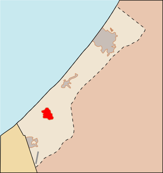
English: Locator map of the city of Khan Yunis — in the southern Gaza Strip of the Palestinian territories.
עברית: ח'אן יונס
|
| Date | (UTC) |
| Source | Gaza_Strip_map_el.svg |
| Author |
|
This file is licensed under the Creative Commons Attribution 3.0 Unported license.
- You are free:
- to share – to copy, distribute and transmit the work
- to remix – to adapt the work
- Under the following conditions:
- attribution – You must give appropriate credit, provide a link to the license, and indicate if changes were made. You may do so in any reasonable manner, but not in any way that suggests the licensor endorses you or your use.
File history
Click on a date/time to view the file as it appeared at that time.
| Date/Time | Thumbnail | Dimensions | User | Comment | |
|---|---|---|---|---|---|
| current | 17:48, 13 January 2009 | | 600 × 639 (38 KB) | Geraki (talk | contribs) | {{Information |Description={{el|1=Χάρτης με την θέση της Χαν Γιουνίς στην Λωρίδα της Γάζα.}} {{en|1=Location of [[:en:Khan Yunis|Khan Yunis] |
You cannot overwrite this file.
File usage on Commons
There are no pages that use this file.
File usage on other wikis
The following other wikis use this file:
- Usage on ar.wikipedia.org
- Usage on et.wikipedia.org
- Usage on ja.wikipedia.org
- Usage on pt.wikipedia.org
- Usage on sco.wikipedia.org
- Usage on tr.wikipedia.org
- Usage on ur.wikipedia.org