File:Location ViceroyaltyPeru 2.png
Size of this preview: 800 × 370 pixels. Other resolutions: 320 × 148 pixels | 640 × 296 pixels | 1,357 × 628 pixels.
Original file (1,357 × 628 pixels, file size: 36 KB, MIME type: image/png)
Captions
Captions
Add a one-line explanation of what this file represents
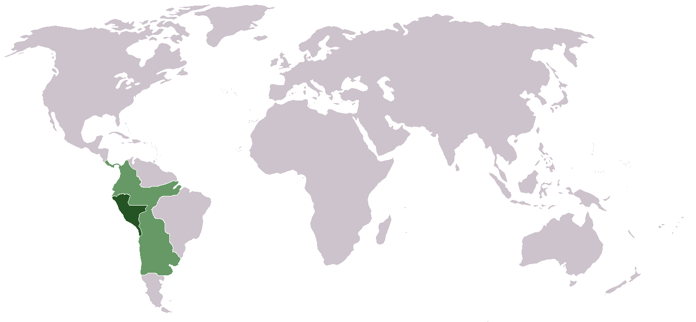
| Description | Locator map of the Viceroyalty of Peru (initial and final de jure territory). |
| Date | |
| Source | Uploadhistory of File:Location ViceroyaltyPeru.png |
| Author | David C. S. |
| Permission (Reusing this file) |
This file is licensed under the Creative Commons Attribution-Share Alike 2.5 Generic license.
|
| Other versions | File:Location ViceroyaltyPeru.png |
File history
Click on a date/time to view the file as it appeared at that time.
| Date/Time | Thumbnail | Dimensions | User | Comment | |
|---|---|---|---|---|---|
| current | 23:37, 30 September 2011 | | 1,357 × 628 (36 KB) | Cambalachero (talk | contribs) | {{Information |Description= Locator map of the Viceroyalty of Peru (initial and final de jure territory). |Source= Uploadhistory of File:Location ViceroyaltyPeru.png |Date= 25 February 2011 |Author= David C. S. |Permission= {{cc- |
You cannot overwrite this file.
File usage on Commons
There are no pages that use this file.