File:Location map Sudan2.png
No higher resolution available.
Location_map_Sudan2.png (466 × 600 pixels, file size: 63 KB, MIME type: image/png)
Captions
Captions
Add a one-line explanation of what this file represents
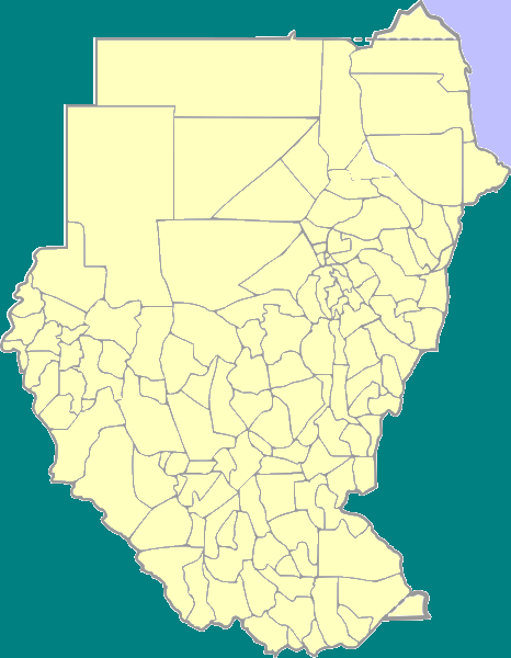
| Description | Positionmap with districts of Sudan for use in templates | ||
| Date | |||
| Source | own work, based on Image:Sudan district map.svg | ||
| Author | Blofeld | ||
| Permission (Reusing this file) |
|
File history
Click on a date/time to view the file as it appeared at that time.
| Date/Time | Thumbnail | Dimensions | User | Comment | |
|---|---|---|---|---|---|
| current | 19:47, 22 May 2008 | | 466 × 600 (63 KB) | Dr. Blofeld~commonswiki (talk | contribs) | {{Information |Description=Positionmap with districts of Sudan for use in templates |Source=own work, based on Image:Sudan district map.svg |Date=March 14 2008 |Author=Blofeld |Permission={{PD-self}} |other_versions= }} [[Category:Maps of Sudan for |
You cannot overwrite this file.
File usage on Commons
There are no pages that use this file.