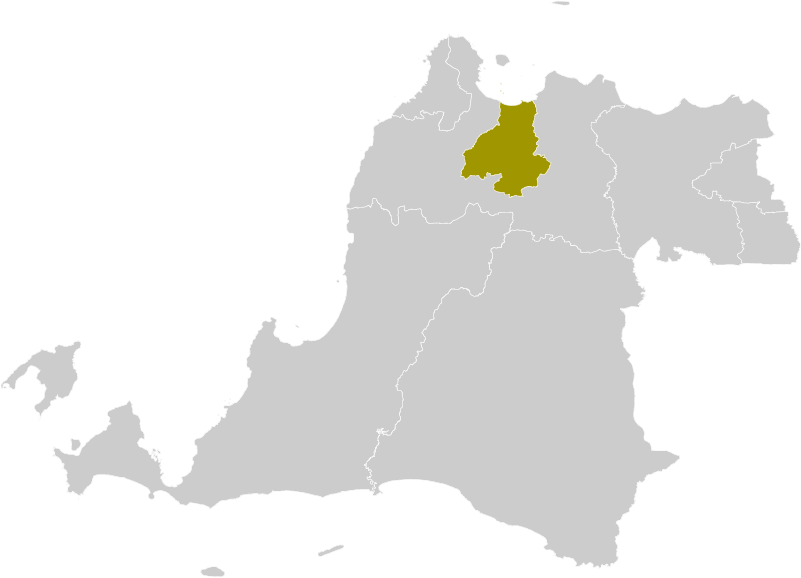
File:Locator Kota Serang.png
Size of this preview: 800 × 577 pixels. Other resolutions: 320 × 231 pixels | 640 × 462 pixels | 801 × 578 pixels.
Original file (801 × 578 pixels, file size: 48 KB, MIME type: image/png)
Captions
Captions
Add a one-line explanation of what this file represents
Summary
edit
| Description | Locator map of Serang Municipality |
| Date | (UTC) |
| Source |
This file was derived from: Locator Kota Tangerang Selatan.png: |
| Author |
|
| This is a retouched picture, which means that it has been digitally altered from its original version. Modifications: Colour changes. The original can be viewed here: Locator Kota Tangerang Selatan.png:
|
Licensing
edit
I, the copyright holder of this work, hereby publish it under the following license:
This file is licensed under the Creative Commons Attribution-Share Alike 3.0 Unported license.
- You are free:
- to share – to copy, distribute and transmit the work
- to remix – to adapt the work
- Under the following conditions:
- attribution – You must give appropriate credit, provide a link to the license, and indicate if changes were made. You may do so in any reasonable manner, but not in any way that suggests the licensor endorses you or your use.
- share alike – If you remix, transform, or build upon the material, you must distribute your contributions under the same or compatible license as the original.
Original upload log
edit
This image is a derivative work of the following images:
- File:Locator_Kota_Tangerang_Selatan.png licensed with Cc-by-sa-3.0
- 2012-10-11T18:41:25Z Topographie 245x161 (3813 Bytes) == {{int:filedesc}} == {{Information |Description=Locator map of South Tangerang Municipality |Source={{Derived from|Locator_Kabupaten_Serang.png|display=50}} |Date=2012-10-11 18:39 (UTC) |Author=*[[:File:Locator_Kabupaten_Se
Uploaded with derivativeFX
File history
Click on a date/time to view the file as it appeared at that time.
| Date/Time | Thumbnail | Dimensions | User | Comment | |
|---|---|---|---|---|---|
| current | 09:17, 20 March 2022 | | 801 × 578 (48 KB) | Afrogindahood (talk | contribs) | Graphical improvement |
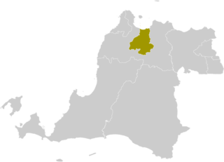
| 18:55, 11 October 2012 |  | 245 × 161 (4 KB) | Topographie (talk | contribs) | == {{int:filedesc}} == {{Information |Description=Locator map of Serang Municipality |Source={{Derived from|Locator_Kota_Tangerang_Selatan.png|display=50}} |Date=2012-10-11 18:54 (UTC) |Author=*File:Locator_Kota_Tangerang_Selatan.png: *[[:File:Lo... |
You cannot overwrite this file.
File usage on Commons
There are no pages that use this file.
File usage on other wikis
The following other wikis use this file:
- Usage on ban.wikipedia.org
- Usage on de.wikipedia.org
- Usage on en.wikipedia.org
- Usage on fr.wikipedia.org
- Usage on gor.wikipedia.org
- Usage on id.wikipedia.org
- Usage on jv.wikipedia.org
- Usage on min.wikipedia.org
- Usage on ml.wikipedia.org
- Usage on ms.wikipedia.org
- Usage on nl.wikipedia.org
- Usage on su.wikipedia.org
- Usage on vi.wikipedia.org
- Usage on zh-min-nan.wikipedia.org
- Usage on zh.wikipedia.org