File:Locator map of Schüttorf in the county of Bentheim.png
No higher resolution available.
Locator_map_of_Schüttorf_in_the_county_of_Bentheim.png (439 × 490 pixels, file size: 17 KB, MIME type: image/png)
Captions
Captions
Add a one-line explanation of what this file represents
Summary edit
Deutsch:
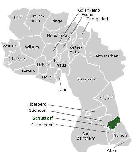
- Beschreibung: Lage von Schüttorf in der Grafschaft Bentheim
- Quelle: http://wiki.genealogy.net/wiki/Bild:Lage_Orte_Kreis_Bad_Bentheim_Niedersachsen.png, dann in The Gimp bearbeitet, Originalautor: K.-P. Wessel, Bearbeitet von Ixitixel
- Datum: 29. November 2005
English:
- Description: Location of Schüttorf in the County of Bentheim
- Source: http://wiki.genealogy.net/wiki/Bild:Lage_Orte_Kreis_Bad_Bentheim_Niedersachsen.png, then modified with The Gimp, Originalauthor: K.-P. Wessel, Modified by Ixitixel
- Date: 29. November 2005
Licensing edit
This file is in the public domain because the originalimage tagged as PD here all changes are PD-self
|
File history
Click on a date/time to view the file as it appeared at that time.
| Date/Time | Thumbnail | Dimensions | User | Comment | |
|---|---|---|---|---|---|
| current | 12:31, 29 November 2005 | | 439 × 490 (17 KB) | Ixitixel (talk | contribs) | New Town Names |
| 12:13, 29 November 2005 |  | 439 × 490 (15 KB) | Ixitixel (talk | contribs) | {{deutsch}} Beschreibung: Lage von Schüttorf in der Grafschaft Bentheim Quelle: http://wiki.genealogy.net/wiki/Bild:Lage_Orte_Kreis_Bad_Bentheim_Niedersachsen.png, dann in The Gimp bearbeitet, Originalautor: [http://wiki.genealogy.net/wiki/Benutzer:Kpwes |
You cannot overwrite this file.
File usage on Commons
The following page uses this file:
File usage on other wikis
The following other wikis use this file: