File:Locator map of the canton des Sables-d’Olonne (in Vendée).png

Size of this preview: 800 × 525 pixels. Other resolutions: 320 × 210 pixels | 640 × 420 pixels | 1,024 × 672 pixels | 1,280 × 840 pixels | 1,600 × 1,050 pixels.
Original file (1,600 × 1,050 pixels, file size: 174 KB, MIME type: image/png)
Captions
Captions
Add a one-line explanation of what this file represents
Summary edit
.png&action=edit§ion=1)
| Description |
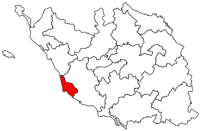
Français : Canton des Sables-d’Olonne. |
| Date | |
| Source | Own work |
| Author |
Ce fichier est une réalisation d’Éduarel. En cas de réutilisation du fichier, il est vivement recommandé d’insérer la ligne suivante : © « Dénomination de l’illustration », Éduarel, Wikimedia Commons, Si ce fichier a été repris en dehors d’un projet de la Wikimedia Foundation, Inc., merci de l’indiquer. |
| Permission (Reusing this file) |
I, the copyright holder of this work, hereby publish it under the following license: This file is licensed under the Creative Commons Attribution-Share Alike 3.0 Unported license.
|
File history
Click on a date/time to view the file as it appeared at that time.
| Date/Time | Thumbnail | Dimensions | User | Comment | |
|---|---|---|---|---|---|
| current | 17:52, 14 February 2015 | | 1,600 × 1,050 (174 KB) | Éduarel (talk | contribs) | Ligne |
| 08:30, 4 March 2014 |  | 1,600 × 1,050 (140 KB) | Éduarel (talk | contribs) | User created page with UploadWizard |
You cannot overwrite this file.
File usage on Commons
There are no pages that use this file.
File usage on other wikis
The following other wikis use this file:
- Usage on it.wikipedia.org
.png&oldid=498592787)