File:Lokot republic map.png

Size of this preview: 549 × 600 pixels. Other resolutions: 220 × 240 pixels | 439 × 480 pixels | 919 × 1,004 pixels.
Original file (919 × 1,004 pixels, file size: 57 KB, MIME type: image/png)
Captions
Captions
Add a one-line explanation of what this file represents
Summary
edit
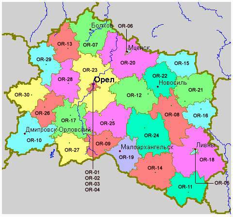
| Description | Lokot Autonomy (Lokot Republic) map, 1941-1943. |
| Date | |
| Source | Own work |
| Author | PANONIAN |
Licensing
edit
I, the copyright holder of this work, hereby publish it under the following license:
| This file is made available under the Creative Commons CC0 1.0 Universal Public Domain Dedication. | |
| The person who associated a work with this deed has dedicated the work to the public domain by waiving all of their rights to the work worldwide under copyright law, including all related and neighboring rights, to the extent allowed by law. You can copy, modify, distribute and perform the work, even for commercial purposes, all without asking permission.
|
References
edit
Reference for WW2 borders:
- Borders of the Lokot Republic are made in accordance with this source: http://ic.pics.livejournal.com/azovman75/40602496/240736/240736_original.jpg
References for modern borders:
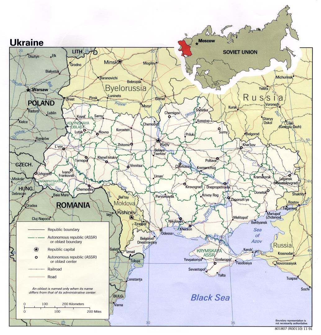
- http://www.vidiani.com/maps/maps_of_europe/maps_of_ukraine/detailed_political_map_of_ukraine.jpg
- http://mapas.owje.com/img/Mapa-Politico-de-Ucrania-4802.gif
- http://www.rdaward.org/map/3y.jpg
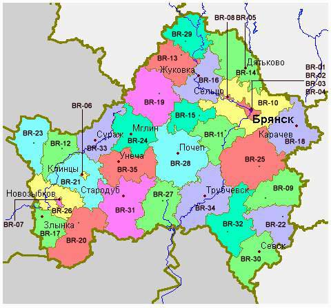
- http://www.reedline.com/Workout/geoimages/bryansk.jpg
- http://www.mapzones.com/citymap/russia/bryanskaya_oblast/bryansk.jpg
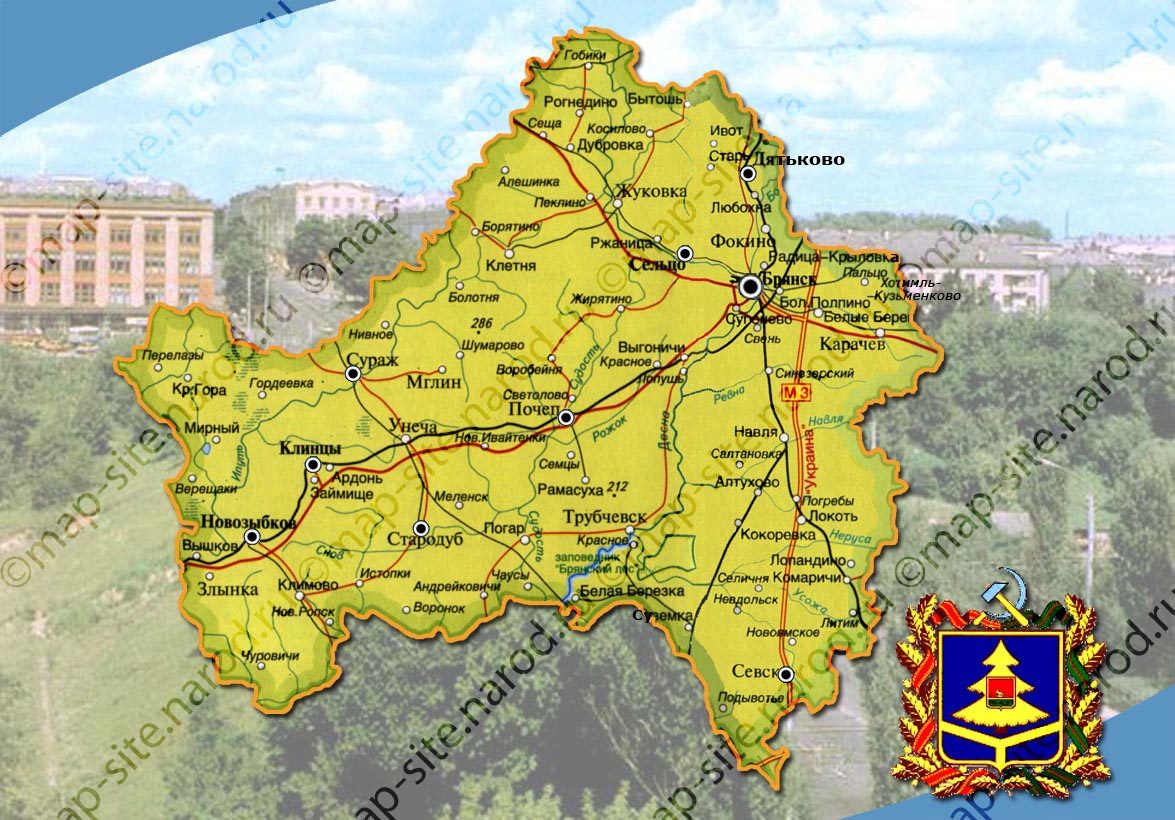
- http://map-site.narod.ru/branskobl-1.jpg
- http://www.rdaward.org/map/3w.jpg
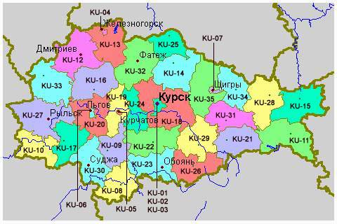
- http://www.mapzones.com/citymap/russia/kurskaya_oblast/kursk.jpg
- http://r3e.ucoz.ru/_si/0/04825481.jpg
- http://www.mapzones.com/citymap/russia/orlovskaya_oblast/orel.jpg
- http://www.partnersearch.ru/images/center.jpg
- http://geocenter.ru/assets/images/Russia_CFO.jpg
- http://centrnedra.ru/docs/Additional/4/01.jpg
- http://gazelz.narod.ru/russia/cfo/cfo.jpg
- http://rus-atlas.ru/827890_BIG_0_0.jpg
File history
Click on a date/time to view the file as it appeared at that time.
| Date/Time | Thumbnail | Dimensions | User | Comment | |
|---|---|---|---|---|---|
| current | 20:02, 11 November 2012 | | 919 × 1,004 (57 KB) | WikiEditor2004 (talk | contribs) | {{Information |Description=Lokot Autonomy (Lokot Republic) map, 1941-1943. |Source={{own}} |Date=2012 |Author= PANONIAN |Permission= |other_versions= }} |
You cannot overwrite this file.
File usage on Commons
The following 3 pages use this file:
File usage on other wikis
The following other wikis use this file:
- Usage on be-tarask.wikipedia.org
- Usage on bs.wikipedia.org
- Usage on cs.wikipedia.org
- Usage on de.wikipedia.org
- Usage on en.wikipedia.org
- Usage on es.wikipedia.org
- Usage on fr.wikipedia.org
- Usage on gl.wikipedia.org
- Usage on it.wikipedia.org
- Usage on ko.wikipedia.org
- Usage on lv.wikipedia.org
- Usage on ms.wikipedia.org
- Usage on pl.wikipedia.org
- Usage on pt.wikipedia.org
- Usage on ro.wikipedia.org
- Usage on ru.wikipedia.org
- Usage on sh.wikipedia.org
- Usage on sr.wikipedia.org
- Usage on uk.wikipedia.org
- Usage on www.wikidata.org