File:Lomnice (Týn) tvrziště prosinec 2021 (2).jpg
Size of this preview: 800 × 533 pixels. Other resolutions: 320 × 213 pixels | 640 × 427 pixels | 1,024 × 683 pixels | 1,280 × 853 pixels | 2,560 × 1,707 pixels | 3,936 × 2,624 pixels.
Original file (3,936 × 2,624 pixels, file size: 9.36 MB, MIME type: image/jpeg)
File information
Structured data
Captions
Summary
editDescriptionLomnice (Týn) tvrziště prosinec 2021 (2).jpg |
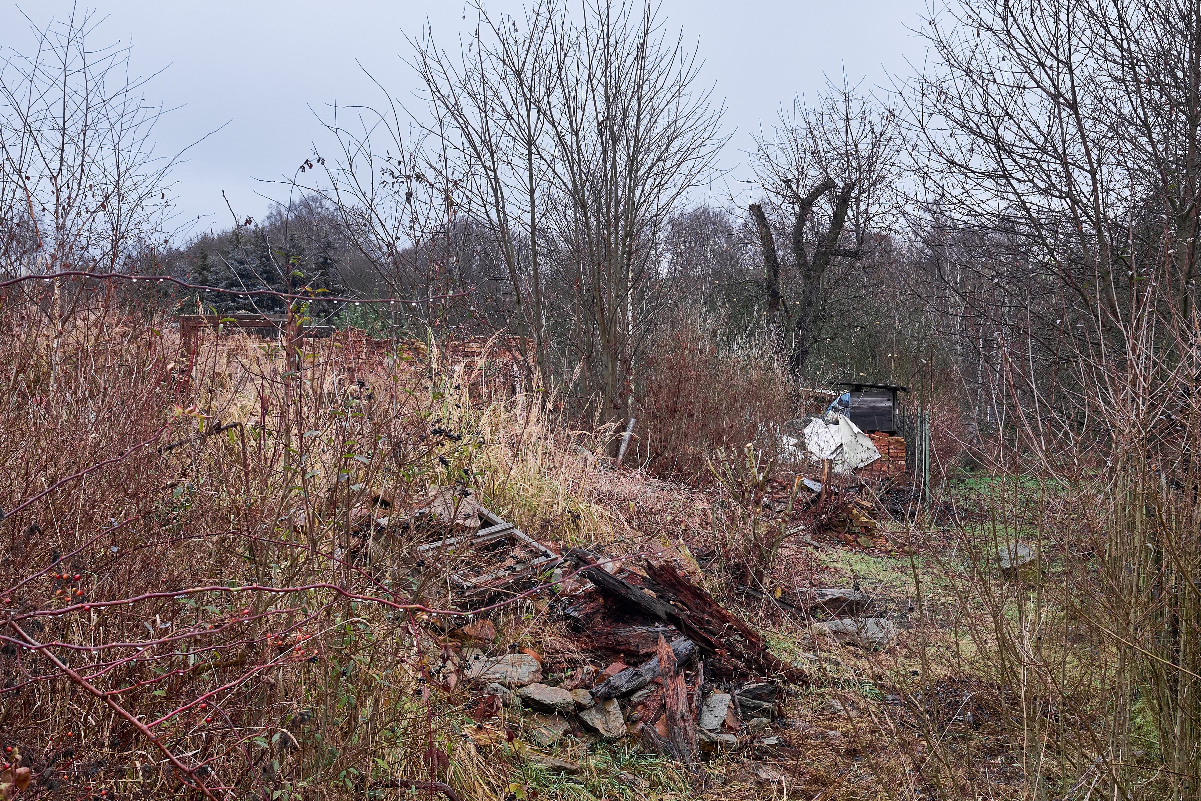
Čeština: Tvrziště, na pozemcích u domů čp. 15, 16, 17, Týn (Lomnice).
|
||
Date | |||
Source | Own work | ||
Author | Lubor Ferenc | ||
Permission (Reusing this file) |
I, the copyright holder of this work, hereby publish it under the following license: This file is licensed under the Creative Commons Attribution-Share Alike 4.0 International license.
|
Camera location | 50° 12′ 57.87″ N, 12° 37′ 34.92″ E | View this and other nearby images on: OpenStreetMap | 50.216076; 12.626367 |
---|
File history
Click on a date/time to view the file as it appeared at that time.
Date/Time | Thumbnail | Dimensions | User | Comment | |
---|---|---|---|---|---|
current | 15:05, 2 December 2021 | 3,936 × 2,624 (9.36 MB) | Lubor Ferenc (talk | contribs) | Uploaded own work with UploadWizard |
You cannot overwrite this file.
File usage on Commons
The following page uses this file:
Metadata
This file contains additional information such as Exif metadata which may have been added by the digital camera, scanner, or software program used to create or digitize it. If the file has been modified from its original state, some details such as the timestamp may not fully reflect those of the original file. The timestamp is only as accurate as the clock in the camera, and it may be completely wrong.
Camera manufacturer | FUJIFILM |
---|---|
Camera model | X100T |
Exposure time | 1/60 sec (0.016666666666667) |
F-number | f/7.1 |
ISO speed rating | 320 |
Date and time of data generation | 13:18, 2 December 2021 |
Lens focal length | 23 mm |
Latitude | 50° 12′ 57.87″ N |
Longitude | 12° 37′ 34.92″ E |
Altitude | 471.06 meters above sea level |
Horizontal resolution | 300 dpi |
Vertical resolution | 300 dpi |
Software used | Capture One 21 Windows |
File change date and time | 13:18, 2 December 2021 |
Exposure Program | Aperture priority |
Exif version | 2.3 |
Date and time of digitizing | 13:18, 2 December 2021 |
APEX shutter speed | 5.906891 |
APEX aperture | 5.655638 |
APEX brightness | 4.6 |
APEX exposure bias | −0.33 |
Maximum land aperture | 2 APEX (f/2) |
Metering mode | Pattern |
Light source | Unknown |
Flash | Flash did not fire, compulsory flash suppression |
Focal plane X resolution | 820 |
Focal plane Y resolution | 820 |
Focal plane resolution unit | 3 |
Sensing method | One-chip color area sensor |
File source | Digital still camera |
Scene type | A directly photographed image |
Custom image processing | Normal process |
Exposure mode | Auto exposure |
White balance | Auto white balance |
Scene capture type | Standard |
Sharpness | Normal |
Subject distance range | Unknown |
GPS time (atomic clock) | 12:18 |
Geodetic survey data used | WGS-84 |
GPS date | 2 December 2021 |
GPS tag version | 0.0.2.2 |
Lens used | Fujifilm X100T |
IIM version | 4 |