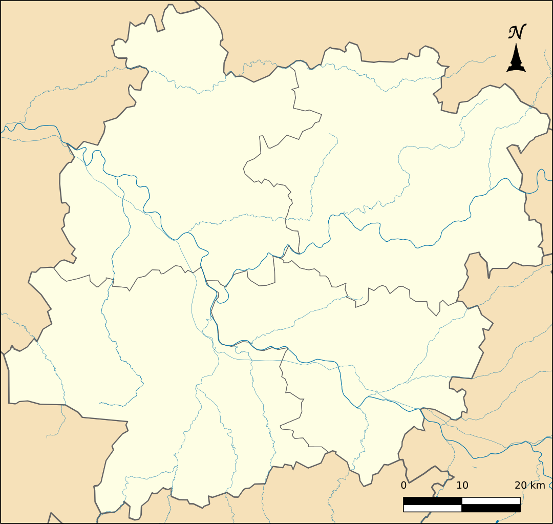
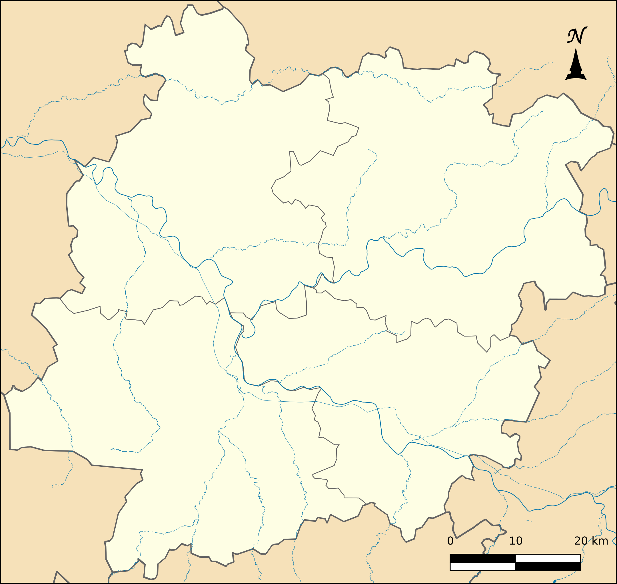
File:Lot-et-Garonne department location map.svg

Size of this PNG preview of this SVG file: 632 × 599 pixels. Other resolutions: 253 × 240 pixels | 506 × 480 pixels | 810 × 768 pixels | 1,080 × 1,024 pixels | 2,160 × 2,048 pixels | 673 × 638 pixels.
Original file (SVG file, nominally 673 × 638 pixels, file size: 412 KB)
Captions
Captions
Add a one-line explanation of what this file represents
Summary
edit
| Description |
Français : Source : IGN-GEOFLA |
| Date | |
| Source | Own work |
| Author | Boldair |
Licensing
edit
I, the copyright holder of this work, hereby publish it under the following license:
This file is licensed under the Creative Commons Attribution-Share Alike 3.0 Unported license.
- You are free:
- to share – to copy, distribute and transmit the work
- to remix – to adapt the work
- Under the following conditions:
- attribution – You must give appropriate credit, provide a link to the license, and indicate if changes were made. You may do so in any reasonable manner, but not in any way that suggests the licensor endorses you or your use.
- share alike – If you remix, transform, or build upon the material, you must distribute your contributions under the same or compatible license as the original.
File history
Click on a date/time to view the file as it appeared at that time.
| Date/Time | Thumbnail | Dimensions | User | Comment | |
|---|---|---|---|---|---|
| current | 23:26, 10 July 2022 | | 673 × 638 (412 KB) | Antimuonium (talk | contribs) | Added arrondissements and more watercourses |
| 19:23, 27 March 2014 |  | 673 × 638 (400 KB) | Boldair (talk | contribs) | encore fleche nord | |
| 19:21, 27 March 2014 |  | 673 × 638 (400 KB) | Boldair (talk | contribs) | fleche nord | |
| 18:53, 27 March 2014 |  | 673 × 638 (400 KB) | Boldair (talk | contribs) | User created page with UploadWizard |
You cannot overwrite this file.
File usage on Commons
The following 3 pages use this file:
File usage on other wikis
The following other wikis use this file:
- Usage on eo.wikipedia.org
- Agen
- Laroque-Timbaut
- Beauville (Lot-et-Garonne)
- Ŝablono:Situo sur mapo Francio Lot-et-Garonne
- Agen (stacidomo)
- Marmande (stacidomo)
- Laroque (stacidomo)
- Aiguillon (stacidomo)
- Aiguillon (Lot-et-Garonne)
- Port-Sainte-Marie (stacidomo)
- Port-Sainte-Marie
- Monsempron-Libos (stacidomo)
- Monsempron-Libos
- Penne (stacidomo)
- Penne-d'Agenais
- Tonneins (stacidomo)
- Tonneins
- Pont-du-Casse (stacidomo)
- Pont-du-Casse
- Sainte-Bazeille (stacidomo)
- Sainte-Bazeille
- Sauveterre-la-Lémance (stacidomo)
- Sauveterre-la-Lémance
- Trentels-Ladignac (stacidomo)
- Trentels
- Bon-Encontre (stacidomo)
- Bon-Encontre
- Boé (Lot-et-Garonne)
- Layrac (stacidomo)
- Layrac
- Nérac (stacidomo)
- Mézin (stacidomo)
- Mézin
- Colayrac (stacidomo)
- Colayrac-Saint-Cirq
- Lasserre (stacidomo)
- Lasserre (Lot-et-Garonne)
- Moncrabeau
- Saint-Nicolas - Saint-Romain (stacidomo)
- Saint-Nicolas-de-la-Balerme
- Saint-Romain-le-Noble
- Usage on fr.wikipedia.org
View more global usage of this file.