File:Louisiana counties.svg

Size of this PNG preview of this SVG file: 775 × 599 pixels. Other resolutions: 310 × 240 pixels | 621 × 480 pixels | 993 × 768 pixels | 1,280 × 990 pixels | 2,560 × 1,980 pixels | 874 × 676 pixels.
Original file (SVG file, nominally 874 × 676 pixels, file size: 846 KB)
Captions
Captions
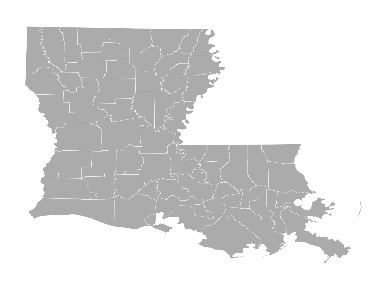
Map of Louisiana with parish outlines for all 64 parishes
Summary
edit
Louisiana counties/parishes.
Copied from http://ftp2.census.gov/geo/maps/general_ref/stco_outline/cen2k_pgsz/stco_LA.pdf, and simplified.
derivative works
edit
Derivative works of this file: 2011 LA Governor Race.svg
Licensing
edit
This work is in the public domain in the United States because it is a work prepared by an officer or employee of the United States Government as part of that person’s official duties under the terms of Title 17, Chapter 1, Section 105 of the US Code.
Note: This only applies to original works of the Federal Government and not to the work of any individual U.S. state, territory, commonwealth, county, municipality, or any other subdivision. This template also does not apply to postage stamp designs published by the United States Postal Service since 1978. (See § 313.6(C)(1) of Compendium of U.S. Copyright Office Practices). It also does not apply to certain US coins; see The US Mint Terms of Use.
|
 | |
| This file has been identified as being free of known restrictions under copyright law, including all related and neighboring rights. | ||
File history
Click on a date/time to view the file as it appeared at that time.
| Date/Time | Thumbnail | Dimensions | User | Comment | |
|---|---|---|---|---|---|
| current | 08:38, 21 December 2006 | | 874 × 676 (846 KB) | Interiot~commonswiki (talk | contribs) | Louisiana counties/parishes. Copied from http://ftp2.census.gov/geo/maps/general_ref/stco_outline/cen2k_pgsz/stco_LA.pdf, and simplified. Category:Blank maps of the United States |
You cannot overwrite this file.
File usage on Commons
There are no pages that use this file.