File:Lower Saxony, administrative divisions - nds - colored.svg

Size of this PNG preview of this SVG file: 709 × 599 pixels. Other resolutions: 284 × 240 pixels | 568 × 480 pixels | 909 × 768 pixels | 1,212 × 1,024 pixels | 2,423 × 2,048 pixels | 1,422 × 1,202 pixels.
Original file (SVG file, nominally 1,422 × 1,202 pixels, file size: 377 KB)
Captions
Captions
Add a one-line explanation of what this file represents
Summary edit
| Description |
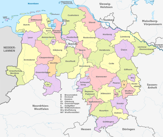
Deutsch: Karte der politischen Gliederung von Niedersachsen auf Plattdeutsch
English: Map of administrative divisions of Lower Saxony in Low German
Plattdüütsch: Koort von de polietsche Glederung von Neddersassen op Plattdüütsch |
||
| Date | |||
| Source |
Own work This W3C-unspecified vector image was created with Adobe Illustrator. This SVG file was uploaded with Commonist. This vector image includes elements that have been taken or adapted from this file: |
||
| Author | Template:Slomox | ||
| Other versions |
|
Licensing edit
I, the copyright holder of this work, hereby publish it under the following licenses:
This file is licensed under the Creative Commons Attribution-Share Alike 3.0 Unported license.
- You are free:
- to share – to copy, distribute and transmit the work
- to remix – to adapt the work
- Under the following conditions:
- attribution – You must give appropriate credit, provide a link to the license, and indicate if changes were made. You may do so in any reasonable manner, but not in any way that suggests the licensor endorses you or your use.
- share alike – If you remix, transform, or build upon the material, you must distribute your contributions under the same or compatible license as the original.

|
Permission is granted to copy, distribute and/or modify this document under the terms of the GNU Free Documentation License, Version 1.2 or any later version published by the Free Software Foundation; with no Invariant Sections, no Front-Cover Texts, and no Back-Cover Texts. A copy of the license is included in the section entitled GNU Free Documentation License. |
You may select the license of your choice.
File history
Click on a date/time to view the file as it appeared at that time.
| Date/Time | Thumbnail | Dimensions | User | Comment | |
|---|---|---|---|---|---|
| current | 14:53, 27 March 2015 | | 1,422 × 1,202 (377 KB) | Slomox (talk | contribs) | == {{int:filedesc}} == {{Information |Description= {{de|Karte der politischen Gliederung von Niedersachsen auf Plattdeutsch}} {{en|Map of administrative divisions of Lower Saxony in Low German}} {{nds|Koort von de polietsche Glederung von Neddersassen... |
You cannot overwrite this file.
File usage on Commons
There are no pages that use this file.
File usage on other wikis
The following other wikis use this file:
- Usage on zh.wikipedia.org