File:Lpsc boundary.jpg

Size of this preview: 777 × 600 pixels. Other resolutions: 311 × 240 pixels | 622 × 480 pixels | 995 × 768 pixels | 1,193 × 921 pixels.
Original file (1,193 × 921 pixels, file size: 55 KB, MIME type: image/jpeg)
Captions
Captions
Add a one-line explanation of what this file represents
Summary edit
| Description |
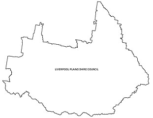
English: Map of the Liverpool Plains Shire Council boundary. (Local Government Area) |
| Date | |
| Source | Own work |
| Author | Bushy555 |
For the wiki page 'Liverpool Plains Shire Council'
Licensing edit
| I, the copyright holder of this work, release this work into the public domain. This applies worldwide. In some countries this may not be legally possible; if so: I grant anyone the right to use this work for any purpose, without any conditions, unless such conditions are required by law. |
File history
Click on a date/time to view the file as it appeared at that time.
| Date/Time | Thumbnail | Dimensions | User | Comment | |
|---|---|---|---|---|---|
| current | 03:35, 31 January 2011 | | 1,193 × 921 (55 KB) | Bushy555 (talk | contribs) | {{Information |Description ={{en|1=Map of the Liverpool Plains Shire Council boundary. (Local Government Area)}} |Source ={{own}} |Author =Bushy555 |Date =2011-01-31 |Permission = |other_versions = }} For |
You cannot overwrite this file.
File usage on Commons
There are no pages that use this file.