File:Luanshan Lake Wetland01.jpg

Size of this preview: 800 × 600 pixels. Other resolutions: 320 × 240 pixels | 640 × 480 pixels | 1,024 × 768 pixels | 1,280 × 960 pixels | 2,560 × 1,920 pixels | 5,248 × 3,936 pixels.
Original file (5,248 × 3,936 pixels, file size: 7.81 MB, MIME type: image/jpeg)
Captions
Captions
Add a one-line explanation of what this file represents
Summary
edit
| Description |
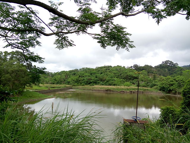
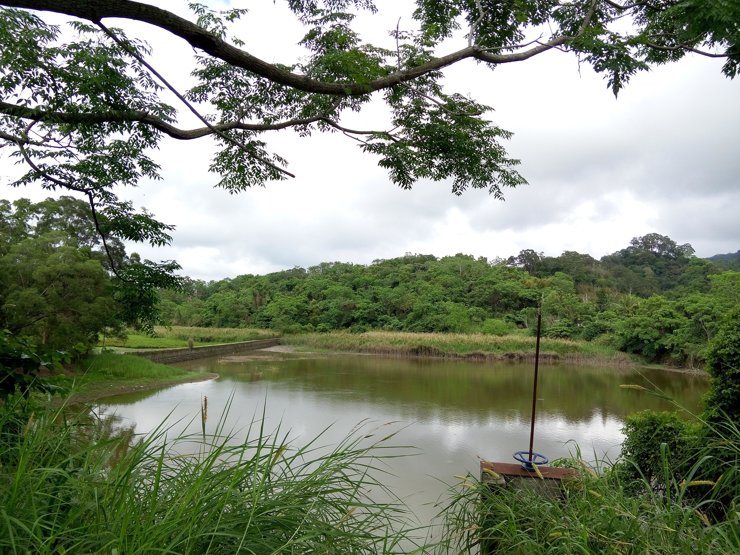
中文(臺灣):中華民國(台灣)國家重要濕地-鸞山湖濕地,位於臺灣臺東縣延平鄉榕山部落 中文(中国大陆):台湾 国家重要湿地-鸾山湖湿地,位于台湾台东县延平乡榕山部落 English: Taiwan(R.O.C) Wetland of Importance Conservation Program-Luanshan Lake Wetland in Taitung County |
| Date | |
| Source | Own work |
| Author | Eric Deng |
| Camera location | | View this and other nearby images on: OpenStreetMap |
|---|
Licensing
edit
I, the copyright holder of this work, hereby publish it under the following license:
This file is licensed under the Creative Commons Attribution-Share Alike 4.0 International license.
- You are free:
- to share – to copy, distribute and transmit the work
- to remix – to adapt the work
- Under the following conditions:
- attribution – You must give appropriate credit, provide a link to the license, and indicate if changes were made. You may do so in any reasonable manner, but not in any way that suggests the licensor endorses you or your use.
- share alike – If you remix, transform, or build upon the material, you must distribute your contributions under the same or compatible license as the original.
File history
Click on a date/time to view the file as it appeared at that time.
| Date/Time | Thumbnail | Dimensions | User | Comment | |
|---|---|---|---|---|---|
| current | 14:53, 7 April 2015 | | 5,248 × 3,936 (7.81 MB) | Matt8830 (talk | contribs) | User created page with UploadWizard |
You cannot overwrite this file.
File usage on Commons
There are no pages that use this file.
File usage on other wikis
The following other wikis use this file:
- Usage on zh.wikipedia.org