File:Ludwig Ewald, Handatlas der allgemeinen Erdkunde - No. 77. Paris, 1846 - David Rumsey.jpg

Size of this preview: 736 × 600 pixels. Other resolutions: 295 × 240 pixels | 589 × 480 pixels | 943 × 768 pixels | 1,257 × 1,024 pixels | 2,514 × 2,048 pixels | 5,851 × 4,767 pixels.
Original file (5,851 × 4,767 pixels, file size: 23.47 MB, MIME type: image/jpeg)
Captions
Captions
Add a one-line explanation of what this file represents
Summary edit
| Title |
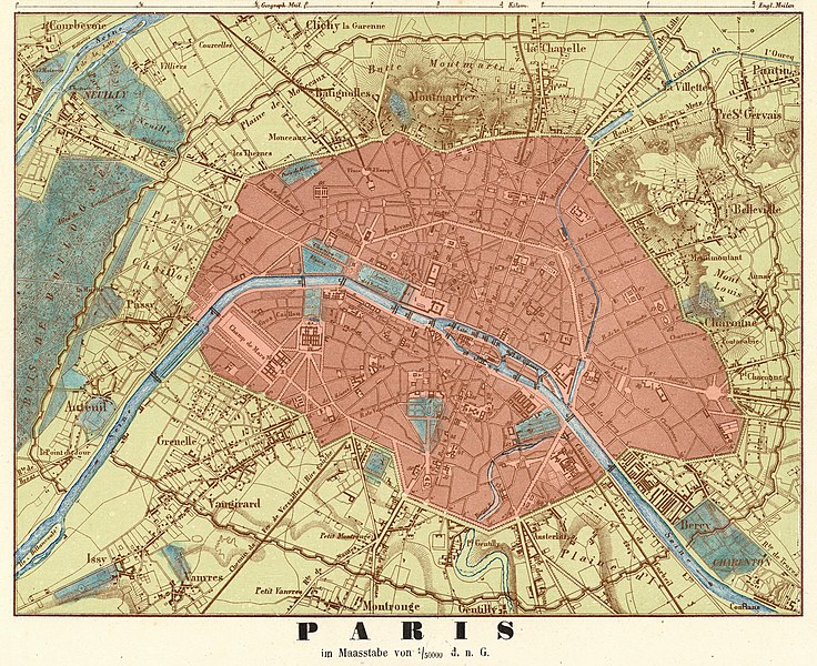
No. 77. London. Paris. |
| Description |
English: An old map of Paris.
|
| Date | |
| Source | David Rumsey Historical Map Collection |
| Creator |
Ludwig Ewald & Georg Leonhart Bauerkeller |
| Geotemporal data | |
| Date depicted | |
| Map location | Paris |
| Georeferencing | If inappropriate please set warp_status = skip to hide. |
| Bibliographic data | |
| Publication |
Handatlas der Allgemeinen Erdkunde, Laender- und Staatenkunde, In 80 Karten. Herausgegeben von L. Ewald ... Nebst einem Handbuch der allgemeinen Erdkunde. Laender- und Staatenkunde von Dr. E. Eder. Darmstadt, 1860. Verlag von Jonghaus & Venator's Kartogr[aphisch].-artist[ischen]. Anstalt. |
| Place of publication | Darmstadt |
| Printed by |
Jonghaus & Venator's Kartogr.-artist. Anstalt |
| Other versions |
|

Licensing edit
|
This work is in the public domain in its country of origin and other countries and areas where the copyright term is the author's life plus 100 years or fewer. | |
| This file has been identified as being free of known restrictions under copyright law, including all related and neighboring rights. | |
File history
Click on a date/time to view the file as it appeared at that time.
| Date/Time | Thumbnail | Dimensions | User | Comment | |
|---|---|---|---|---|---|
| current | 17:48, 31 December 2019 | | 5,851 × 4,767 (23.47 MB) | Paris 16 (talk | contribs) | {{Information |description ={{en|1=Map of Paris.}} |date = |source =Map of Paris. |author =Map of Paris. }} |
You cannot overwrite this file.
File usage on Commons
The following 2 pages use this file: