File:Lutocin (gmina) location map.png

Size of this preview: 549 × 599 pixels. Other resolutions: 220 × 240 pixels | 440 × 480 pixels | 813 × 887 pixels.
Original file (813 × 887 pixels, file size: 72 KB, MIME type: image/png)
Captions
Captions
Add a one-line explanation of what this file represents
| Description |
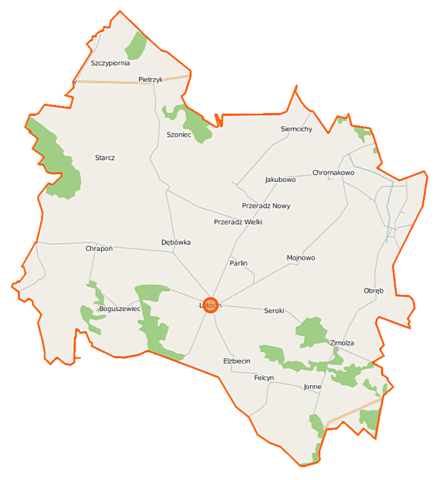
Polski: Mapa gminy Lutocin, Polska
English: Map of Gmina Lutocin, Poland |
|||||||||
| Date | ||||||||||
| Source | You may find a page on the OpenStreetMap wiki page for Lutocin (gmina) | |||||||||
| Creator |
OpenStreetMap contributors OpenStreetMap contributors |
|||||||||
| Permission (Reusing this file) |
OpenStreetMap data is available under the Open Database License (details). Map tiles are licensed under the Creative Commons Attribution-ShareAlike 2.0 license (CC-BY-SA 2.0).
This file is licensed under the Creative Commons Attribution-Share Alike 2.0 Generic license.
|
|||||||||
| Geotemporal data | ||||||||||
| Bounding box |
|
|||||||||
| Georeferencing | If inappropriate please set warp_status = skip to hide. | |||||||||
File history
Click on a date/time to view the file as it appeared at that time.
| Date/Time | Thumbnail | Dimensions | User | Comment | |
|---|---|---|---|---|---|
| current | 12:24, 18 October 2014 | | 813 × 887 (72 KB) | VanWiel (talk | contribs) | {{OpenStreetMap | name = Lutocin (gmina) | location = Lutocin (gmina) | description = {{pl|Mapa gminy Lutocin, Polska}} {{en|Map of Gmina Lutocin, Poland}} | top = 53.0746 | left = 19.6593 | right... |
You cannot overwrite this file.
File usage on Commons
There are no pages that use this file.
File usage on other wikis
The following other wikis use this file:
- Usage on fr.wikipedia.org
- Usage on pl.wikipedia.org
- Lutocin (gmina)
- Boguszewiec
- Chromakowo
- Felcyn
- Jonne
- Lutocin
- Mojnowo
- Przeradz Nowy
- Pietrzyk
- Przeradz Mały
- Przeradz Wielki
- Siemcichy
- Szoniec
- Swojęcin
- Zimolza
- Głęboka (województwo mazowieckie)
- Seroki (województwo mazowieckie)
- Dębówka (powiat żuromiński)
- Elżbiecin (powiat żuromiński)
- Obręb (powiat żuromiński)
- Parlin (powiat żuromiński)
- Chrapoń (gmina Lutocin)
- Starcz
- Szczypiornia
- Psota
- Parafia św. Mateusza w Lutocinie
- Jakubowo (województwo mazowieckie)
- Rak (województwo mazowieckie)
- Moduł:Mapa/dane/Lutocin (gmina)
- Kościół św. Mateusza w Lutocinie
- Usage on pl.wikibooks.org
_location_map.png&oldid=519976373)