File:Luxembourg road sign A,23.jpg
Size of this preview: 450 × 600 pixels. Other resolutions: 180 × 240 pixels | 360 × 480 pixels | 576 × 768 pixels | 1,200 × 1,600 pixels.
Original file (1,200 × 1,600 pixels, file size: 689 KB, MIME type: image/jpeg)
Captions
Captions
Add a one-line explanation of what this file represents
Summary
edit
| Description |
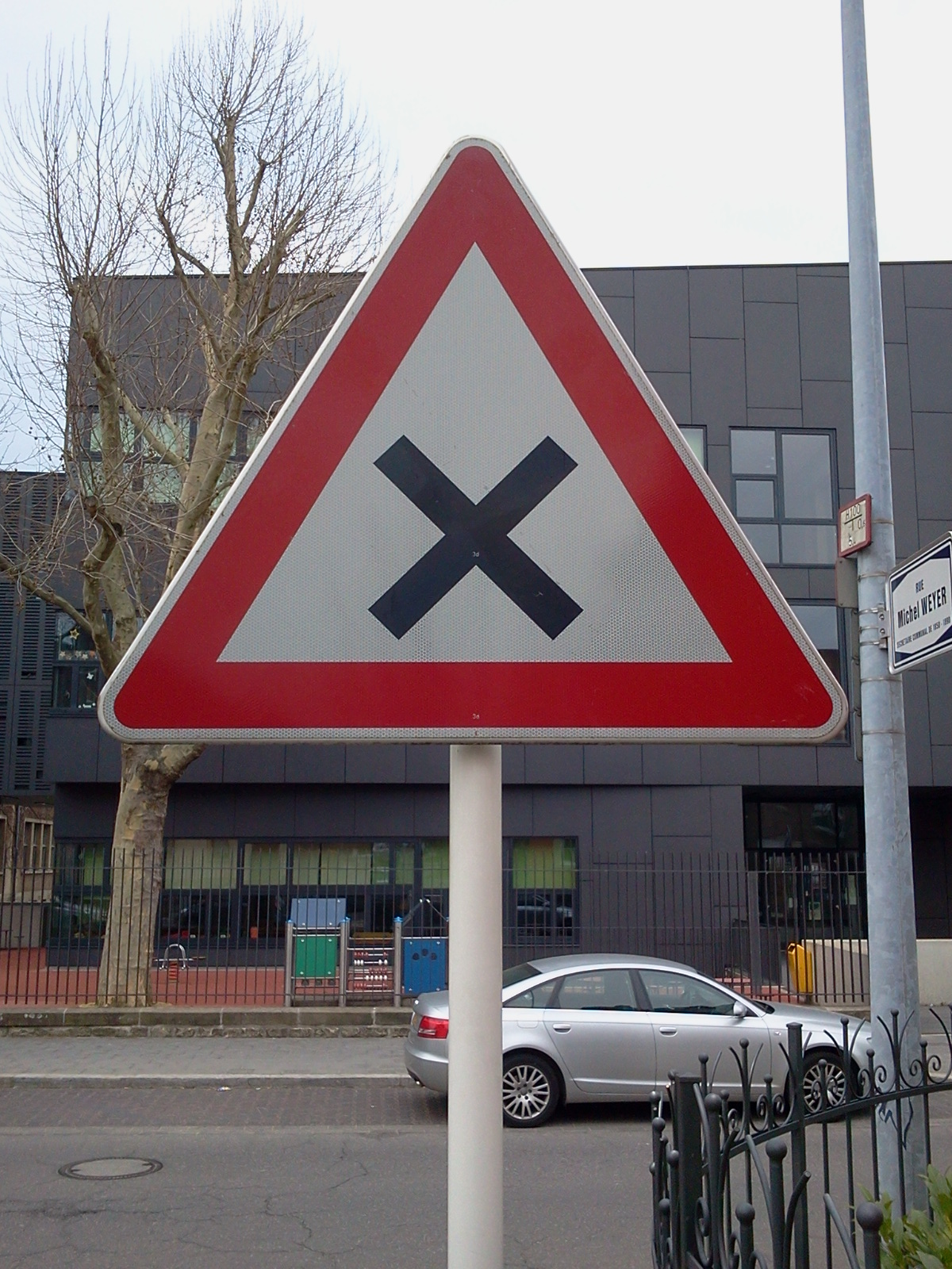
Lëtzebuergesch: Verkéiersschëld A, 23 aus dem lëtzebuerger Code de la Route "Kräizung mat Rietsvirfaart" Français : Signal A, 23 du Code de la Route luxembourgeois "Le signal A,23 indique l'approche d'une intersection où la priorité de droite est d'application, sans préjudice des dispositions de l'article 136." |
| Date | |
| Source | Own work |
| Author | GilPe |
| Camera location | | View this and other nearby images on: OpenStreetMap |
|---|
Licensing
edit
I, the copyright holder of this work, hereby publish it under the following license:
This file is licensed under the Creative Commons Attribution-Share Alike 3.0 Unported license.
- You are free:
- to share – to copy, distribute and transmit the work
- to remix – to adapt the work
- Under the following conditions:
- attribution – You must give appropriate credit, provide a link to the license, and indicate if changes were made. You may do so in any reasonable manner, but not in any way that suggests the licensor endorses you or your use.
- share alike – If you remix, transform, or build upon the material, you must distribute your contributions under the same or compatible license as the original.
File history
Click on a date/time to view the file as it appeared at that time.
| Date/Time | Thumbnail | Dimensions | User | Comment | |
|---|---|---|---|---|---|
| current | 07:46, 21 April 2013 | | 1,200 × 1,600 (689 KB) | GilPe (talk | contribs) | User created page with UploadWizard |
You cannot overwrite this file.
File usage on Commons
The following 2 pages use this file:
- File:A23 panneau.jpg (file redirect)
- Category:A,23 (road sign, Luxembourg)
File usage on other wikis
The following other wikis use this file:
- Usage on lb.wikipedia.org
- Usage on www.wikidata.org