File:Mędrzechów (gmina) location map.png

Original file (2,032 × 1,910 pixels, file size: 323 KB, MIME type: image/png)
Captions
Captions
Summary
edit_location_map.png&action=edit§ion=1)
| Description |
English: Location map |
| Date | |
| Source | Own work |
| Author | Smat |
| Description |
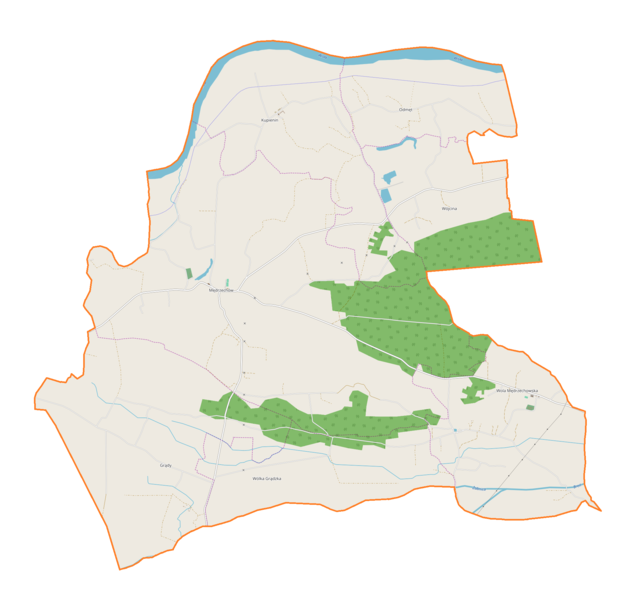
Polski: Mapa gminy Mędrzechów, Polska
English: Map of Mędrzechów (gmina), Poland |
|||||||||
| Date | ||||||||||
| Source | You may find a page on the OpenStreetMap wiki page for Mędrzechów (gmina) | |||||||||
| Creator |
OpenStreetMap contributors OpenStreetMap contributors |
|||||||||
| Permission (Reusing this file) |
OpenStreetMap data is available under the Open Database License (details). Map tiles are licensed under the Creative Commons Attribution-ShareAlike 2.0 license (CC-BY-SA 2.0).
This file is licensed under the Creative Commons Attribution-Share Alike 2.0 Generic license.
|
|||||||||
| Geotemporal data | ||||||||||
| Bounding box |
|
|||||||||
| Georeferencing | If inappropriate please set warp_status = skip to hide. | |||||||||
Licensing
edit_location_map.png&action=edit§ion=2)
| This work contains information from OpenStreetMap, which is made available under the Open Database License (ODbL).
The ODbL does not require any particular license for maps produced from ODbL data. Prior to 1 August 2020, map tiles produced by the OpenStreetMap Foundation were licensed under the CC-BY-SA-2.0 license. Maps produced by other people may be subject to other licences. |
File history
Click on a date/time to view the file as it appeared at that time.
| Date/Time | Thumbnail | Dimensions | User | Comment | |
|---|---|---|---|---|---|
| current | 16:09, 26 February 2018 | | 2,032 × 1,910 (323 KB) | Smat (talk | contribs) | User created page with UploadWizard |
You cannot overwrite this file.
File usage on Commons
There are no pages that use this file.
File usage on other wikis
The following other wikis use this file:
- Usage on pl.wikipedia.org
- Kupienin
- Mędrzechów
- Wola Mędrzechowska
- Wójcina
- Wólka Grądzka
- Grądy (województwo małopolskie)
- Odmęt
- Mędrzechów (przystanek kolejowy)
- Kupienin (przystanek kolejowy)
- Parafia Najświętszej Maryi Panny Królowej Polski w Mędrzechowie
- Parafia Najświętszej Maryi Panny Wniebowziętej w Woli Mędrzechowskiej
- Moduł:Mapa/dane/Mędrzechów (gmina)
- Kościół Najświętszej Maryi Panny Królowej Polski w Mędrzechowie
- Parafia Świętych Apostołów Piotra i Pawła w Kupieninie
- Usage on pl.wikibooks.org
_location_map.png&oldid=706033827)