File:MA-Stadtteil-163-Almenhof.png
Size of this preview: 389 × 600 pixels. Other resolutions: 155 × 240 pixels | 622 × 959 pixels.
Original file (622 × 959 pixels, file size: 100 KB, MIME type: image/png)
Captions
Captions
Add a one-line explanation of what this file represents
Summary
edit
| Description |
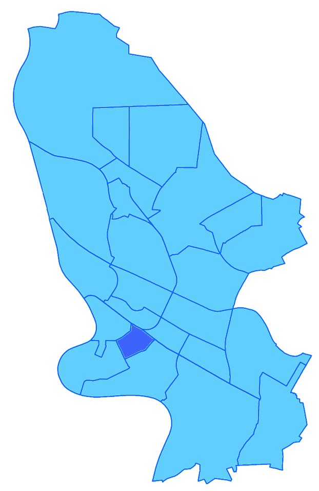
Deutsch: Lagekarte des Stadtteils Almenhof (Mannheim), in Größe und Darstellung orientiert an den bereits vorhandenen Imagemaps in der Category:Locator maps of districts of Mannheim. Unbedingt beachten: Es geht hier um den "Stadtteil"(!!!) - nicht um einen Stadtbezirk.
English: Map of Almenhof (Mannheim) |
| Date | |
| Source | Own work |
| Author | Hubert Berberich (HubiB) |
| Permission (Reusing this file) |
public domain |
Licensing
edit
| I, the copyright holder of this work, release this work into the public domain. This applies worldwide. In some countries this may not be legally possible; if so: I grant anyone the right to use this work for any purpose, without any conditions, unless such conditions are required by law. |
File history
Click on a date/time to view the file as it appeared at that time.
| Date/Time | Thumbnail | Dimensions | User | Comment | |
|---|---|---|---|---|---|
| current | 11:40, 21 March 2018 | | 622 × 959 (100 KB) | HubiB (talk | contribs) | == {{int:filedesc}} == {{Information |Description = {{de|Lagekarte des Stadtteils Almenhof (Mannheim), in Größe und Darstellung orientiert an den bereits vorhandenen Imagemaps in der Category:Locator maps of districts of Mannheim. Unbedingt beachten: Es geht hier um den "Stadtteil"(!!!) - nicht um einen Stadtbezirk.}} {{en|Map of Almenhof (Mannheim)}} |Source = {{Own}} |Date = 2018-03-21 |Author = Hubert Berberich (HubiB) |Permission = public domain |other_versions = }} == {{int:license-header}} == {{PD-self}} Category:Locator maps of districts of Mannheim Category:Mannheim-Almenhof |
You cannot overwrite this file.
File usage on Commons
The following page uses this file:
File usage on other wikis
The following other wikis use this file:
- Usage on www.wikidata.org