File:Macedonia topography-He.svg

Size of this PNG preview of this SVG file: 800 × 567 pixels. Other resolutions: 320 × 227 pixels | 640 × 454 pixels | 1,024 × 726 pixels | 1,280 × 907 pixels | 2,560 × 1,814 pixels | 920 × 652 pixels.
Original file (SVG file, nominally 920 × 652 pixels, file size: 4.54 MB)
Captions
Captions
Add a one-line explanation of what this file represents
Summary
edit
| Description |
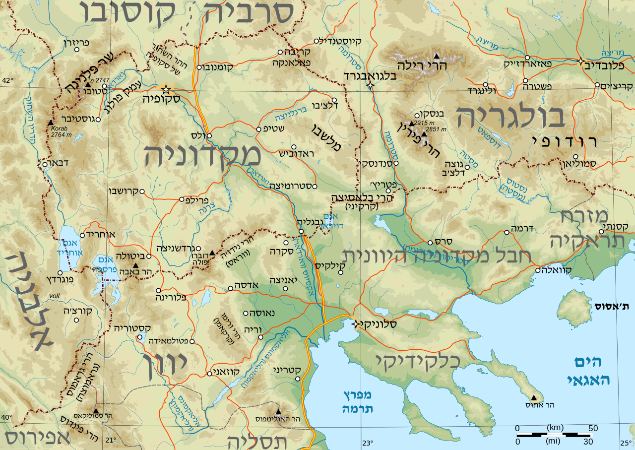
English: Topographical map of Macedonia, i.e. the Republic of Macedonia, the Greek province of Macedonia, and southwestern Bulgaria. |
| Date | (UTC) |
| Source | |
| Author |
|
| This is a retouched picture, which means that it has been digitally altered from its original version. Modifications: Hebrew. The original can be viewed here: Macedonia topography.svg:
|
Licensing
edit
I, the copyright holder of this work, hereby publish it under the following license:
| I, the copyright holder of this work, release this work into the public domain. This applies worldwide. In some countries this may not be legally possible; if so: I grant anyone the right to use this work for any purpose, without any conditions, unless such conditions are required by law. |
Original upload log
edit
This image is a derivative work of the following images:
- File:Macedonia_topography.svg licensed with PD-self
- 2009-01-31T08:29:14Z Future Perfect at Sunrise 920x652 (4452246 Bytes) some additions and corrections
- 2009-01-23T21:49:13Z Future Perfect at Sunrise 920x652 (4208649 Bytes) {{Information |Description={{en|1=Topographical map of geographic Macedonia}} |Source=Own work by uploader |Author=[[User:Future Perfect at Sunrise|Future Perfect at Sunrise]] |Date=23 January 2009 |Permission= |other_version
Uploaded with derivativeFX
File history
Click on a date/time to view the file as it appeared at that time.
| Date/Time | Thumbnail | Dimensions | User | Comment | |
|---|---|---|---|---|---|
| current | 14:36, 23 October 2011 | | 920 × 652 (4.54 MB) | Amirki (talk | contribs) | הזזת "תראקיה" שמאלה, שלא יחתך |
| 14:27, 23 October 2011 |  | 920 × 652 (4.55 MB) | Itzuvit (talk | contribs) | Text | |
| 07:17, 23 October 2011 |  | 920 × 652 (4.55 MB) | Itzuvit (talk | contribs) | Text | |
| 16:31, 22 October 2011 |  | 920 × 652 (4.59 MB) | Itzuvit (talk | contribs) | Text | |
| 16:26, 22 October 2011 |  | 920 × 652 (4.35 MB) | Itzuvit (talk | contribs) | == {{int:filedesc}} == {{Information |Description={{en|1=Topographical map of Macedonia, i.e. the Republic of Macedonia, the Greek province of Macedonia, and southwestern |
You cannot overwrite this file.
File usage on Commons
There are no pages that use this file.
File usage on other wikis
The following other wikis use this file: