File:Mahogany Avenue Route Map.svg

Size of this PNG preview of this SVG file: 418 × 363 pixels. Other resolutions: 276 × 240 pixels | 553 × 480 pixels | 884 × 768 pixels | 1,179 × 1,024 pixels | 2,358 × 2,048 pixels.
Original file (SVG file, nominally 418 × 363 pixels, file size: 67 KB)
Captions
Captions
Add a one-line explanation of what this file represents
Summary edit
| Description |
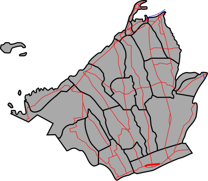
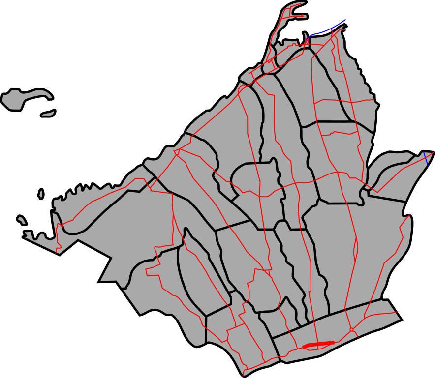
English: Route Map for Mahogany Avenue |
| Date | |
| Source | derived from Map of Cavite (Blank), colours and widths are based on File:EDSA route map.svg (Public domain by User:TagaSanPedroAko |
| Author | HueMan1 |
This W3C-unspecified vector image was created with Inkscape .
Licensing edit
I, the copyright holder of this work, hereby publish it under the following licenses:
| I, the copyright holder of this work, release this work into the public domain. This applies worldwide. In some countries this may not be legally possible; if so: I grant anyone the right to use this work for any purpose, without any conditions, unless such conditions are required by law. |
| This file is made available under the Creative Commons CC0 1.0 Universal Public Domain Dedication. | |
| The person who associated a work with this deed has dedicated the work to the public domain by waiving all of their rights to the work worldwide under copyright law, including all related and neighboring rights, to the extent allowed by law. You can copy, modify, distribute and perform the work, even for commercial purposes, all without asking permission.
|
You may select the license of your choice.
File history
Click on a date/time to view the file as it appeared at that time.
| Date/Time | Thumbnail | Dimensions | User | Comment | |
|---|---|---|---|---|---|
| current | 07:58, 15 April 2018 | | 418 × 363 (67 KB) | HueMan1 (talk | contribs) | Few additions and changes |
| 23:16, 6 April 2018 |  | 438 × 363 (53 KB) | HueMan1 (talk | contribs) | User created page with UploadWizard |
You cannot overwrite this file.
File usage on Commons
There are no pages that use this file.
File usage on other wikis
The following other wikis use this file:
- Usage on en.wikipedia.org
- Usage on tl.wikipedia.org
- Usage on www.wikidata.org