File:Main Street Peck Av td 10 - Kissena Corridor Pk W.jpg

Size of this preview: 800 × 533 pixels. Other resolutions: 320 × 213 pixels | 640 × 427 pixels | 1,024 × 683 pixels | 1,280 × 853 pixels | 2,560 × 1,707 pixels | 5,472 × 3,648 pixels.
Original file (5,472 × 3,648 pixels, file size: 10.17 MB, MIME type: image/jpeg)
Captions
Captions
Add a one-line explanation of what this file represents
Summary
edit
| Description |
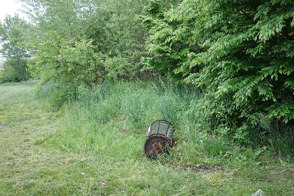
English: A abandoned trash can in the right field clearing of Baseball Field 12 at Kissena Corridor Park, at Main Street and Peck Avenue in Flushing, Queens. As opposed to a fence, the end of the field is marked by these trees and shrubs. It's like something out of Field of Dreams, a movie I have never seen. Also, this looks familiar! |
| Date | Taken on 22 May 2018, 15:13:06 |
| Source | Own work |
| Author | Tdorante10 |
| Camera location | | View this and other nearby images on: OpenStreetMap |
|---|
Licensing
edit
I, the copyright holder of this work, hereby publish it under the following license:
This file is licensed under the Creative Commons Attribution-Share Alike 4.0 International license.
- You are free:
- to share – to copy, distribute and transmit the work
- to remix – to adapt the work
- Under the following conditions:
- attribution – You must give appropriate credit, provide a link to the license, and indicate if changes were made. You may do so in any reasonable manner, but not in any way that suggests the licensor endorses you or your use.
- share alike – If you remix, transform, or build upon the material, you must distribute your contributions under the same or compatible license as the original.
File history
Click on a date/time to view the file as it appeared at that time.
| Date/Time | Thumbnail | Dimensions | User | Comment | |
|---|---|---|---|---|---|
| current | 12:18, 26 May 2018 | | 5,472 × 3,648 (10.17 MB) | Tdorante10 (talk | contribs) | User created page with UploadWizard |
You cannot overwrite this file.
File usage on Commons
The following page uses this file: