File:Makyta.jpg

Size of this preview: 800 × 600 pixels. Other resolutions: 320 × 240 pixels | 640 × 480 pixels | 1,024 × 768 pixels | 1,280 × 960 pixels | 1,632 × 1,224 pixels.
Original file (1,632 × 1,224 pixels, file size: 900 KB, MIME type: image/jpeg)
Captions
Captions
Add a one-line explanation of what this file represents
Summary
edit
| Description |
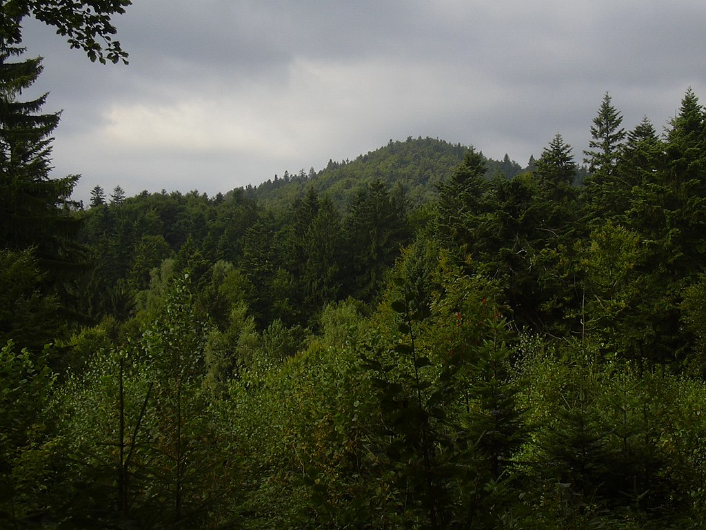
English: Makyta (923 m), a massive forested mountain in Javorníky on Czechoslovak border. The well preserved beech and fir forests on the slopes are the home of bear, wolf and lynx.
Čeština: Makyta (923 m), zalesněný vrchol v západní části Javorníků na československé hranici. Zachovalé jedlobukové lesy na svazích jsou útočištěm velkých šelem včetně medvěda a vlka. |
| Date | |
| Source | Own work |
| Author | Jiří Kadlec |
| Camera location | | View this and other nearby images on: OpenStreetMap |
|---|
Licensing
edit
| I, the copyright holder of this work, release this work into the public domain. This applies worldwide. In some countries this may not be legally possible; if so: I grant anyone the right to use this work for any purpose, without any conditions, unless such conditions are required by law. |
File history
Click on a date/time to view the file as it appeared at that time.
| Date/Time | Thumbnail | Dimensions | User | Comment | |
|---|---|---|---|---|---|
| current | 07:17, 25 August 2008 | | 1,632 × 1,224 (900 KB) | Jiří Kadlec~commonswiki (talk | contribs) | {{Information |Description={{en|1=Makyta (923 m), a massive forested mountain in Javorníky on Czechoslovak border. The well preserved beech and fir forests on the slopes are the home of bear, wolf and lynx.}} {{cs|1=Makyta (923 m), zalesněný vrchol v z |
You cannot overwrite this file.
File usage on Commons
The following page uses this file:
File usage on other wikis
The following other wikis use this file:
- Usage on ceb.wikipedia.org
- Usage on cs.wikipedia.org
- Usage on de.wikipedia.org
- Usage on lld.wikipedia.org
- Usage on no.wikipedia.org
- Usage on pl.wikipedia.org
- Usage on sk.wikipedia.org
- Usage on www.wikidata.org