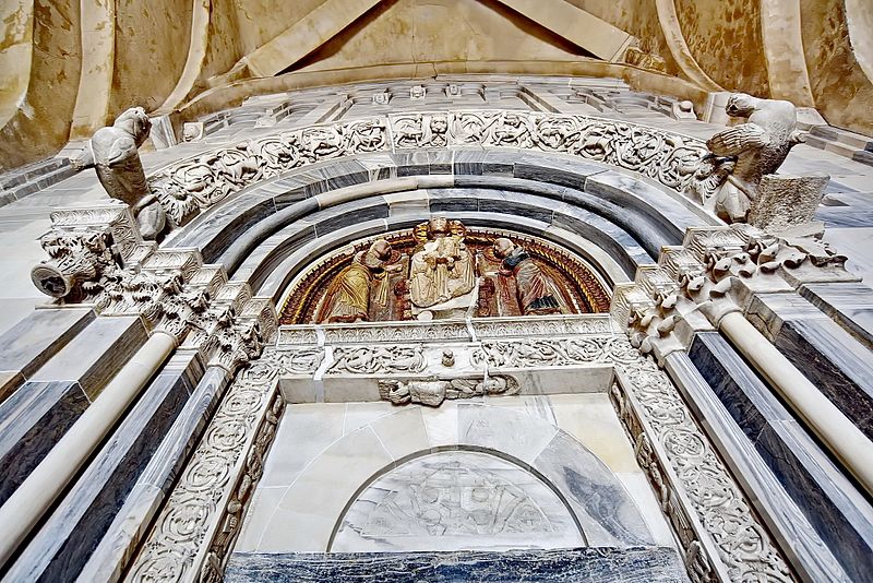
File:Manastir Studenica - Ulazna vrata u manistirsku crkvu - Church Studenica.- entrance to the church.jpg

Size of this preview: 800 × 534 pixels. Other resolutions: 320 × 214 pixels | 640 × 427 pixels | 1,024 × 684 pixels | 1,280 × 854 pixels | 2,048 × 1,367 pixels.
Original file (2,048 × 1,367 pixels, file size: 1.28 MB, MIME type: image/jpeg)
Captions
Captions
Add a one-line explanation of what this file represents
Summary
edit
43.486517°N 20.531493°E
| Description |
43.486517°N 20.531493°E
|
| Date | |
| Source | Own work |
| Author | Radmilo Djurovic |
Licensing
edit
I, the copyright holder of this work, hereby publish it under the following license:
This file is licensed under the Creative Commons Attribution-Share Alike 4.0 International license.
- You are free:
- to share – to copy, distribute and transmit the work
- to remix – to adapt the work
- Under the following conditions:
- attribution – You must give appropriate credit, provide a link to the license, and indicate if changes were made. You may do so in any reasonable manner, but not in any way that suggests the licensor endorses you or your use.
- share alike – If you remix, transform, or build upon the material, you must distribute your contributions under the same or compatible license as the original.

|
This image was uploaded as part of Wiki Loves Monuments 2016.
|
 |
File history
Click on a date/time to view the file as it appeared at that time.
| Date/Time | Thumbnail | Dimensions | User | Comment | |
|---|---|---|---|---|---|
| current | 15:04, 4 September 2016 | | 2,048 × 1,367 (1.28 MB) | Radmilo Djurovic (talk | contribs) | 43.486517°N 20.531493°E |
| 20:36, 3 September 2016 |  | 2,048 × 1,367 (925 KB) | Radmilo Djurovic (talk | contribs) | User created page with UploadWizard |
You cannot overwrite this file.
File usage on Commons
There are no pages that use this file.