File:Mantle Rock, bridge and nearby trees.jpg

Size of this preview: 800 × 532 pixels. Other resolutions: 320 × 213 pixels | 640 × 426 pixels | 1,024 × 681 pixels | 1,280 × 851 pixels | 2,560 × 1,702 pixels | 6,016 × 4,000 pixels.
Original file (6,016 × 4,000 pixels, file size: 6.39 MB, MIME type: image/jpeg)
Captions
Captions
Add a one-line explanation of what this file represents
| Camera location | | View this and other nearby images on: OpenStreetMap |
|---|
| Description |
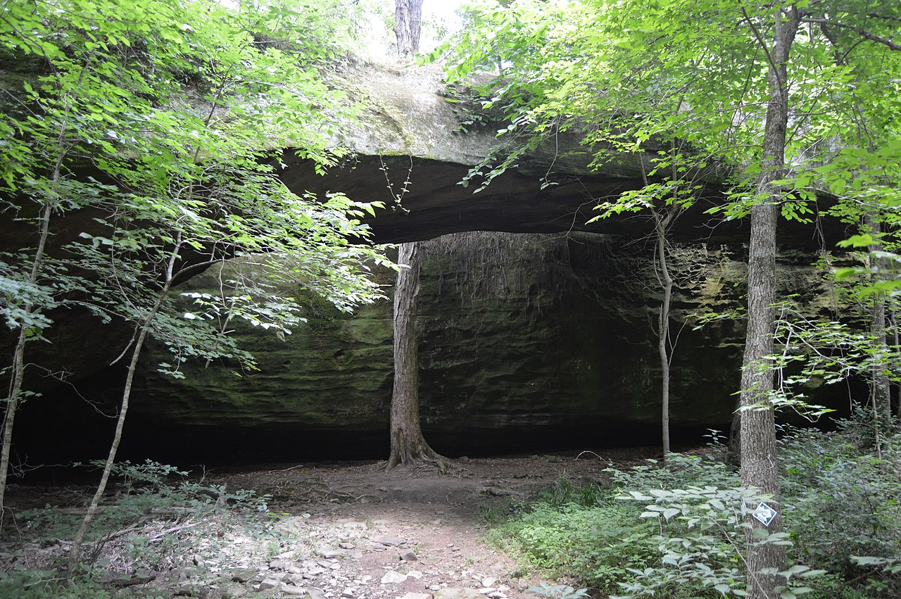
English: Trees and the natural bridge at the Mantle Rock Preserve, located southwest of Carrsville in northern Livingston County, Kentucky, United States. Because of its archaeological importance (many Indians travelling the Trail of Tears passed through here), the preserve is listed on the National Register of Historic Places as a historic district.
|
||
| Date | Taken on 20 June 2016 | ||
| Source | Own work | ||
| Author | Nyttend | ||
| Permission (Reusing this file) |
|
File history
Click on a date/time to view the file as it appeared at that time.
| Date/Time | Thumbnail | Dimensions | User | Comment | |
|---|---|---|---|---|---|
| current | 05:24, 6 August 2016 | | 6,016 × 4,000 (6.39 MB) | Nyttend (talk | contribs) | {{Location|37|21|20|N|88|25|36|W}} {{Information |Description={{en|Trees and the natural bridge at the {{w|Mantle Rock Archeological District|Mantle Rock Preserve}}, located southwest of {{w|Carrsville, Kentucky|Carrsville}} in northern {{w|Livingston... |
You cannot overwrite this file.
File usage on Commons
There are no pages that use this file.
File usage on other wikis
The following other wikis use this file:
- Usage on de.wikipedia.org
- Usage on en.wikipedia.org